| Date |
Distance |
Time |
Elevation Gain |
Average Moving Time |
Year to Date Miles |
| 8/4/2024 |
4.1 miles |
2 hours 13 minutes |
306' |
1.9 mph |
506.5 miles |
Parking:
Map:Directions:- From the parking area, take the access trail to the MST. Turn left on the MST. Hike past Ox Creek Road. Return the same way.
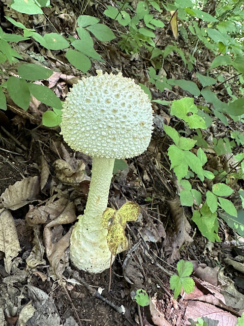
Still not hiking much due to the heat, humidity, and thunderstorms. It was humid today, but at least no forecast of thunderstorms, so we went out. I would have preferred to hike higher up, but we didn't have much time, so we chose a local MST section. Lots of people out on the trail. Rooty and rocky section, but well maintained. Plenty of funky looking mushrooms and one view.
 |
| Parking area past Ox Creek Road. |
 |
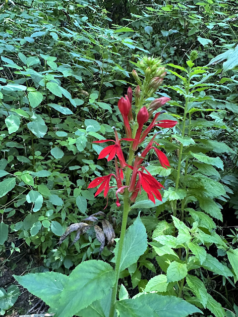
| Cardinal flower |
 |
| Finally found some puffballs! |


No comments:
Post a Comment