| Date | Distance | Time | Elevation Gain | Average Moving Time | Year to Date Miles |
|---|---|---|---|---|---|
| 7/28/2024 | 3.4 miles | 3 hours 5 minutes | 1,091' | 1.3 mph | 502.4 miles |
- Curtis Creek Campground
- Gai Gps app
- From the parking area, cross the street to get to Hickory Branch Trail. Follow the trail until intersection with Lead Mine Gap Trail. Return the same way.
Carolina Mountain Club Challenges:
- Waterfall Challenge, Hickory Branch Falls
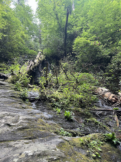
We joined Marie and other CMC members for a CMC half day hike. We left early, but it was still very warm and humid. This trail passes by a cascade and a couple of waterfalls. The trail is overgrown. We were offered to hike further, but all of us were struggling with the humidity, so we agreed to turn around at the Lead Mine Gap Trail. It was just starting to sprinkle when we finished up our hike. I'm so looking forward to fall and cooler, drier weather.
 |
| Another unnamed falls, less pretty due to downed trees |


No comments:
Post a Comment