| Date | Distance | Time | Elevation Gain | Average Moving Time | Year to Date Miles |
|---|---|---|---|---|---|
| 7/13/2024 | 3.6 miles | 2 hours 23 minutes | 817' | 1.6 mph | 484.4 miles |
- Waterrock Knob Visitor Center, Blue Ridge Parkway
- FarOut app
- Gaia app
- From the parking area, take the paved trail towards Waterrock Knob. Where the MST leaves the trail to the left, stay straight on the paved path and walk to the first overlook. Return back to the MST and turn right onto the MST. Hike to where we left off before, then return on the MST back to the parking lot.
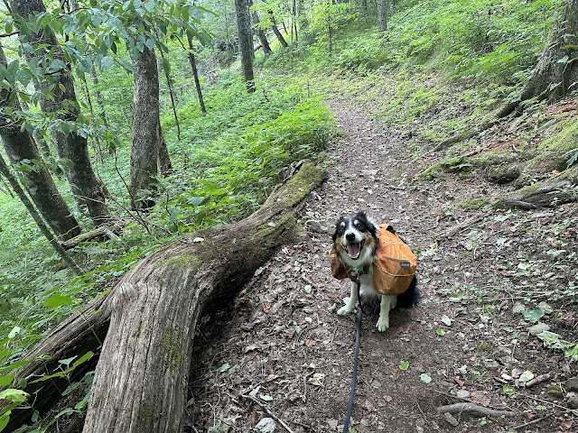
Another warm day, so off we head to higher elevation to hike after a gym workout. Asheville was 92 degrees when we left, but Waterrock Knob was 72 degrees. Still humid, but this is a very shaded hike, so that helped. The hardest part of the hike was the paved part, lol. It climbs steeply, and we saw many people stopping for a breather. There were a few wildflowers on this hike and many mushrooms. We only saw 3 people. This section is well maintained. Some areas were rocky though, so I hiked slowly. This hike fills in a gap of other completed MST sections for us. On our return hike, Krumm started getting very excited and was pulling. I couldn't imagine what it was, because he wouldn't do that for a human, dog, or bear. It was a turkey crossing the trail :)
 |
| First view up paved path. |
 |
| A good place to be on a hot day |
 |
| Our turnaround point (we hiked here from the other direction previously). |


No comments:
Post a Comment