| Date |
Distance |
Time |
Elevation Gain |
Average Moving Time |
Year to Date Miles |
| 7/14/2024 |
6.9 miles |
4 hours 32 minutes |
1,317' |
1.8 mph |
491.3 miles |
Parking:
- Guion Farm Parking Area, 3015 Sky Valley Road, Hendersonville
Map:- FarOut app
- Pisgah Map Co. Dupont
Directions:- See CMC hike #988. From the parking area take the Farmhouse Trail. Turn left onto Shoal Creek Trail. Turn right onto Sky Valley Road. Turn right onto Rocky Ridge Trail. Turn left onto Stone Mountain Trail. Pass the Switchback Trail and stay on Stone Mountain Trail. Continue to the summit of Stone Mountain. Return back down the Stone Mountain Trail. Turn right onto Rocky Ridge Trail. Turn left onto Sky Valley Road. Turn right onto Rifle Trail. Where trail splits, keep left. At T intersection, turn right. At the next T intersection turn left onto Hickory Mountain Road back to the parking area.
We joined Danny for a half day CMC hike in Dupont. It was a nice to go out on a CMC hike, but so hot! This is not a high elevation hike. I was chugging water with electrolytes. Lots of bike riders on the trails, but only a few hikers. Good company. I like hiking with Danny, as she often includes a lot of history of the area in the hikes she leads.
 |
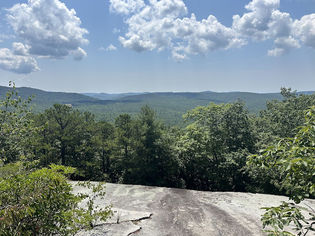
| Nice view on top of Stone Mountain |


No comments:
Post a Comment