| Date |
Distance |
Time |
Elevation Gain |
Average Moving Time |
Year to Date Miles |
|---|
| 9/9/2022 |
3.3 |
4 hours 24 minutes |
1,102' |
1.2 mph |
665.3 |
Parking:
Maps:
Directions:
- From tent site, continue on trail past Vogelsang Lake
- Turn right on Vogelsang Peak Trail
- Hike to summit.
- Return the same way
Our 3rd day was a basecamping day. Yeah! That meant we could leave most of our gear at camp and hike with a lighter pack. Our group was given 3 options - spend the day relaxing, visit one or more lakes, or hike up Vogelsang Peak. None of us wanted to just hang out. All of us were interested in both the peak and the lakes. Our guide told us we needed to prioritize what we wanted to do. I was thinking - how hard can hiking up Vogelsang Peak be? Yes, it goes up to higher elevation, 11,444 feet, but it's only a 3.3-mile hike. We decided to prioritize Vogelsang Peak.
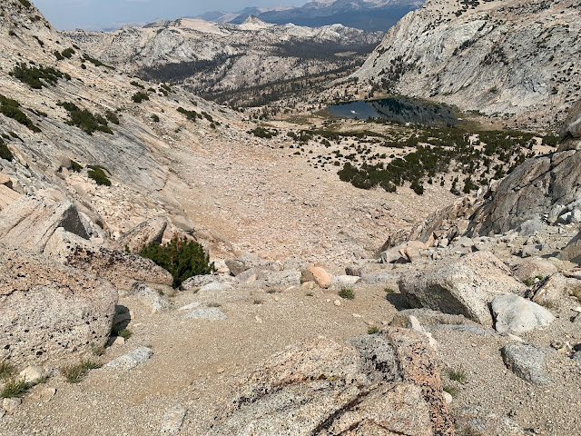
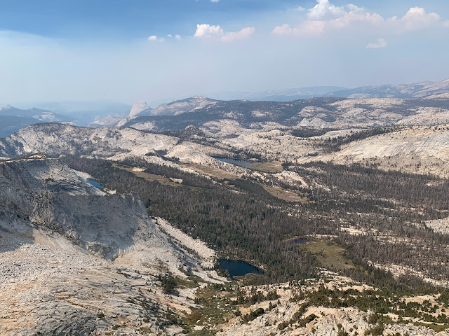
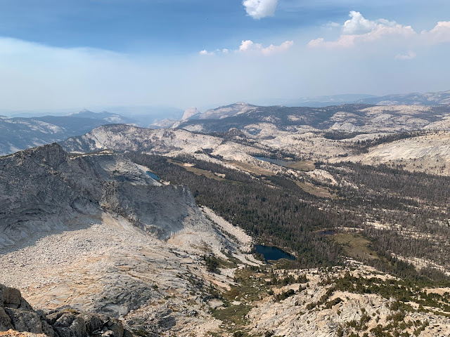
We had an easy hike towards the trail up the peak. We then turned right. Gaia showed the trail going up the peak. When I looked, I saw no trail in reality. It was just a pile of rocks. Zero signs of a path. Our guide had been up to the peak before, but still used Gaia to confirm we were going up the right approach. The hike was a pure rock scramble. It was not so much physically tiring. It was definitely mentally tiring, as I had to constantly scan my surroundings to determine the safest way up for me. Everyone chooses their own path, as there is no trail. The boulders were challenging, but even more challenging were the sections where we walked on slippery scree. We reached a nice flat area about 2/3 of the way up. Views were great, but greater rewards ahead. The next section we had to bushwhack up the boulders between small trees. Near the very top there was a short, exposed section. I just took it slowly and ungracefully hoisted myself up to the summit. One of our group stopped just short of the summit, not being comfortable with the exposure. At the top, 360-degree views. So worth it. Big smiles from everyone.
I dreaded going down, as I have a lot of PTSD about falling downhill. I just told the guide I needed to take it very slowly. When I got too nervous, I just sat down and butt scootched. I wasn't the slowest climbing up, but I was definitely lagging behind the group going down. I was happy to reach solid trail at the bottom. We headed back to camp.
 |
| Vogelsang Lake |
 |
| We are heading up to the peak in the center of the photo |
 |
| What trail? |
 |
| Everyone chooses their own route |
 |
| Looking down at what we climbed |
 |
| Vogelsang Lake, where we came from |
 |
| Scree section - much more challenging to hike on |
 |
| Beginning of section where we need to bushwhack through the brush |
 |
| So close but so far. The part with a bit of exposure is the small cliff below the summit |
 |
| Summit! |
 |
| I wore a long sleeve shirt over my t-shirt today, because the sun is so strong |
 |
| Heading back down |
 |
| Yikes, it looks like it goes straight down |
 |
| Vogelsang Lake |
 |
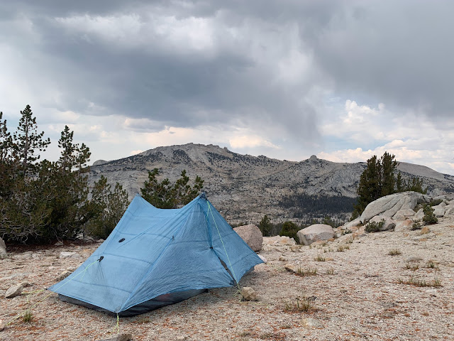
| Back to solid footing at our campsite |


No comments:
Post a Comment