| Date |
Distance |
Time |
Elevation Gain |
Average Moving Time |
Year to Date Miles |
|---|
| 5/13/2022 |
17.2 miles |
8 hours 18 minutes |
3,547' |
2.3 |
394.2 |
Parking:
- One car at Oconee State Park
- One car at Bad Creek Access Area
- One car at Table Rock State Park
Maps:
Directions:
- Backpack from Laurel Fork Falls Campsite to Cantrell Campsite
Day 6 of our hike. This was our longest day with the most elevation gain. The distance on Gaia looks too long. Today we hiked over Sassafras Mountain, the South Carolina state high point. Sassafras kicked my ass. Glen and I had
visited the state high point in 2017. You can drive to the summit. I didn't recognize the summit at all. I looked back at my photos from our 2017 trip, and the summit was designated by a small rock. Now in 2022, there is a tower at the summit. I googled it, and discovered that yes, the tower was built after our original trip. No wonder it didn't look familiar. In 2017, it was cold and rainy, and we had zero view. I'm so glad I got to visit again and enjoy the 360-degree view!
Tonight's campsite had a water cistern. I really prefer running water. Our campsite had a stream, but the stream was very shallow, so the cistern made water collection easy. We grabbed an end spot at the campsite, next to the bear bag cable. Again, there were too many bags hanging from the single cable. It was painfully heavy to lift up. No bears visited :) A group of men camped in the area next to us. They stayed up until 10 pm. When we camp, we've been going to bed at 8 pm. Sometimes even 7 pm is not too early! We wake up early with the birds, as soon as it starts to get light out.
 |
| Suspension bridge |
 |
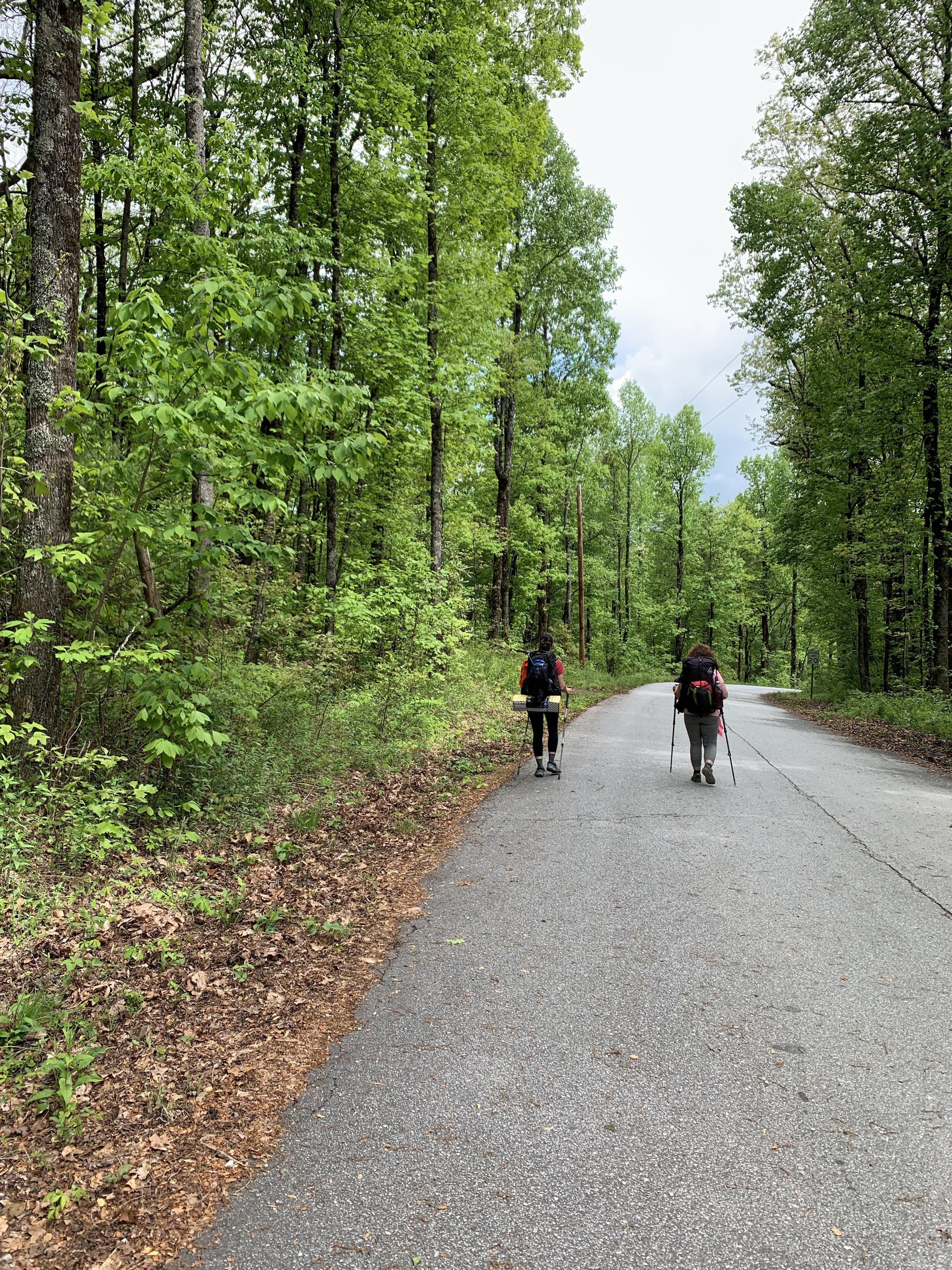
| The climbs were tiring today |
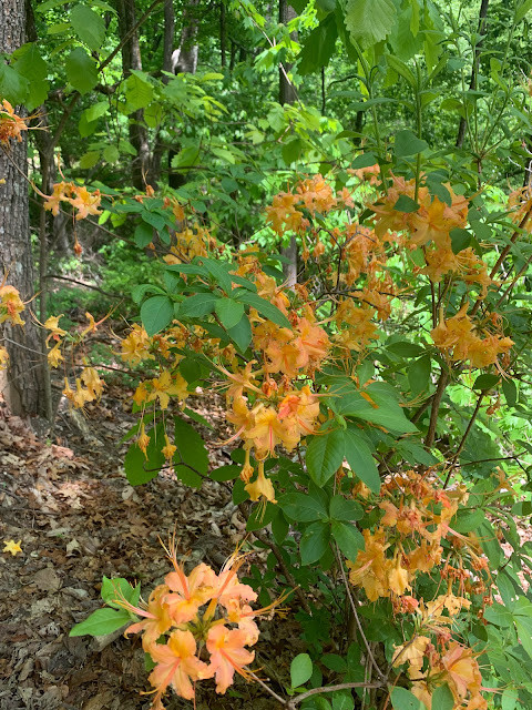 |
| Flame Azaleas |
 |
| Pacman Rock |
 |
| Approaching the new tower, a welcome sight after all our climbing |
 |
| Very close to the end! |
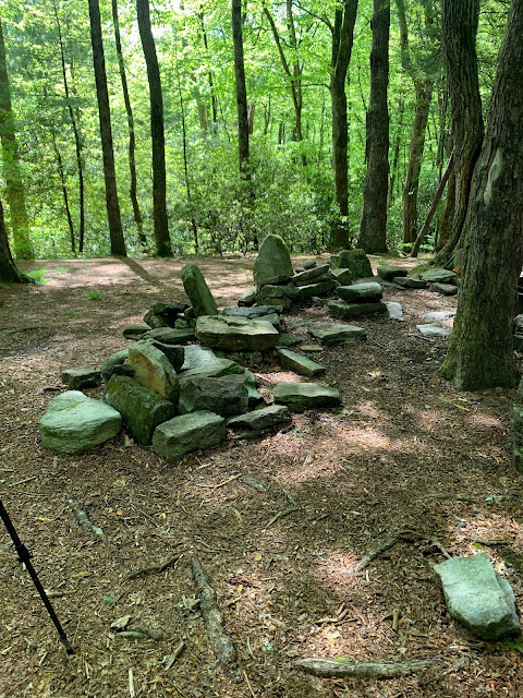 |
| This campsite had stone chairs with back rests. |


No comments:
Post a Comment