
| Date | Distance | Time | Elevation Gain | Average Moving Time | Year to Date Miles |
|---|---|---|---|---|---|
| 5/12/2022 | 14.8 miles | 7 hours 15 minutes | 1,977' | 2.2 | 377 |
- One car at Oconee State Park
- One car at Bad Creek Access Area
- One car at Table Rock State Park
- Trail map, pocket profile, guidebook from Products – Foothills Trail Conservancy
- FarOut app, Foothills Trail
- Backpack from Bear Gap Campsite to Laurel Fork Falls Campsite
Day 5 of our hike. Lots of mountain laurel blooming. Today we were going up Heartbreak Ridge. It's something people talk about with dread. Lots of steps. Seriously, it wasn't as bad as people say. Yes, it's a steep uphill, but we found other uphill sections more challenging. I actually found the downhill section of Heartbreak Ridge more challenging. I have a strong fear of falling down stairs. We had even more suspension bridges today! What a lot of work must have gone into building those. Bravo trail crew!
Our campsite had a bear cable again. Yeah! But the bear cable again hung food too low, even with just 4 bags. Boo! This area had a very nice campsite layout, with several areas that could fit 3-4 tents per area. That allowed some privacy for groups. Actually only 1 other person camped at this site, in an area set apart from ours (his site was at the top of a waterfall). Our spot was right on the river, so we had easy access to filter again. There were some rocks in the river, so I spent some time sitting on a rock and soaking my feet until they froze.
One downside of this site was poison ivy. Even though I touched poison ivy, I managed not to get a rash. Phew!
Our clothes were sweaty and stinky, so we rinsed some of them out. We lay them on logs and our tents to dry, and they became covered in bees. Or maybe they were a type of fly that looked like a bee? There were tons of them. They liked my tent as well. Nothing stung us, but it was just odd to see my sports bra having 6 bees crawling on it.
We had some free time in the evening, so I attempted to make my first campfire. After all, maybe it would get rid of the bees (it didn't). We didn't want a big one, so we just collected mostly smaller sticks. Tara and I tried drying some of our clothes by the campfire. I can't say it worked that well. I ended up with stinky, smokey, damp clothes that didn't finish drying out. Well, I definitely need more practice building fires, but we managed to keep it going for 2 hours before calling it a night. By the time we went to sleep, the bee population did too.
One thing I liked about this trail: CAMPSITES
This trail has frequent established campsites. There really aren't stealth camping sites. But some campsites are spread out, so many people can use them without being on top of each other. We were able to find mostly flat sites as well. All of our campsites had water access, though there are a few smaller dry campsites as well. The campsites are all listed in the FarOut app. Each campsite has a sign showing the distance to the previous and next established campsite. The only downside to the campsites were related to bear bag hanging. Not all sites had cables, and there weren't great trees for hanging a bear bag. I didn't find the cables really provided enough safety from bears. Luckily, we never lost any food.


 |
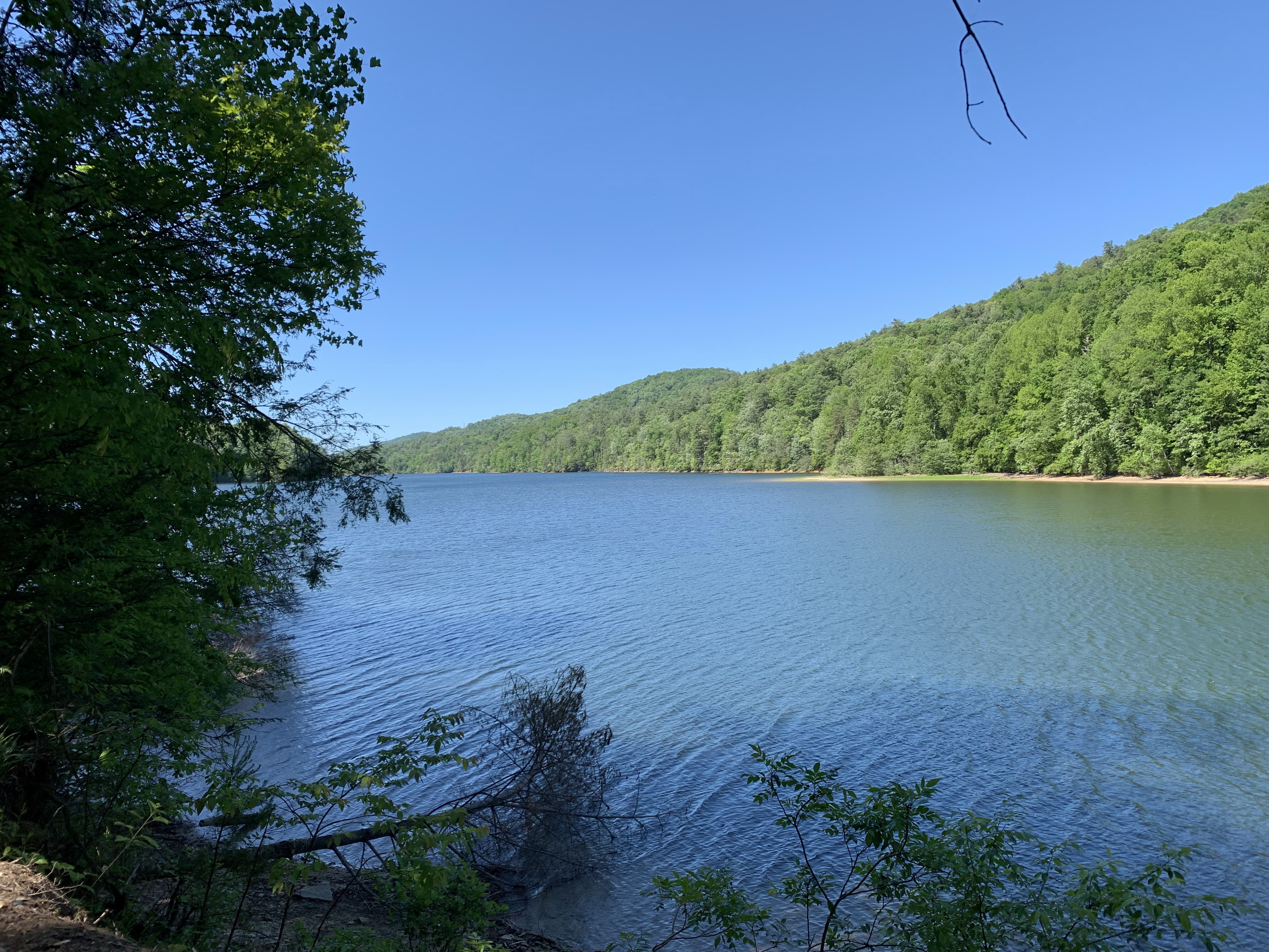
| Lake Toxaway, which had some very fancy campsites. I read this is a favorite camping spot by many. |
 |
| Another fancy suspension bridge |


 |
| The start of our climb. I think it was around 150 steps uphill and double that downhill |
 |
| Mountain laurel |


No comments:
Post a Comment