
| Date | Distance | Time | Elevation Gain | Average Moving Time | Year to Date Miles |
|---|---|---|---|---|---|
| 11/21/2021 | 3.8 miles | 3 hours 21 minutes | 1,096' | 1.4 mph | 478.1 |
Map:
- 100 Favorite Trails of the Smokies and the Carolina Blue Ridge (for directions)
- National Geographic Linville Gorge Mount Mitchell, Map 779 (not detailed enough)
- GaiGps (printed from website, nicely detailed)
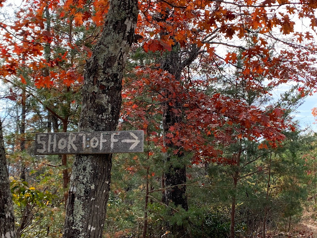
Parking: Wolfpit Road
Carolina Mountain Club Challenges:
- 100 Favorite Trails Challenge, #91
Directions: See 100 Favorite Trails map
At first I was thinking of doing 3 shorter hikes today, but we ended up only doing one of them. This was a hike to savor, not rush. Wolfpit Road is a gravel road. It's actually a good quality road until one bigger rut right before the parking area. The parking area was crowded and kind of a mess...a sign said that backup parking was available on the highway. But its 2.4 miles away I think.
The hike starts as an uphill climb. Some of the steps are tall, but the climb isn't bad, especially since you'll want to stop and take in the view periodically. The trail is very rocky, but there are barely any leaves on the trail. This is fabulous, as our last few hikes we've been swimming in leaves. Even though the rocks are loose, you can easily see what you are stepping on. I have read that snakes are common in this area, but we didn't see any.
On the way up, you can see signs of previous forest fires. Views of Lake James can be seen as you are climbing. The views get better and better as you ascend. Near the top, you can start to see the Linville River running through the Linville Gorge. We saw a few flowering plants on the way up - witch hazel, a rhododendron, and gentians. They must be confused to be in bloom this late. Part of the trail follows the Mountains to Sea Trail.
At the top, the area is covered with pines - maybe Table Mountain Pine? They are short and beautiful. We saw some twisted trees at the top - krummholz, after which our dog is named. There are various spots to the left of the trail where you can walk out to a view. This section is flat and an easy walk. Even though this is a popular hike, each time we stopped for the view, we had it to ourselves. There are several tent sites in the area. I want to backpack here! I would love to sit up here and watch a sunset over Linville Gorge. There is a piped spring, which was running - I've heard that it can't be relied on though, and that water is scarce. I've read that permits are required to tent in the area. We continued until we hit a jeep trail (yeah, not really wide enough for a jeep at all), and then turned around. This hike reminds me of the gunks in NY. Lots of cliff views. Glen says this is his favorite western North Carolina hike so far, so a big thumbs up from both of us.


No comments:
Post a Comment