| Date | Distance | Time | Elevation Gain | Average Moving Time | Year to Date Miles |
|---|---|---|---|---|---|
| 11/10/2021 | 9.6 miles | 5 hours 57 minutes | 1,327' | 2.2 | 442.6 |
Map:
- Burt Kornegay's A Guide to Panthertown (more detailed)
- National Geographic Pisgah Ranger District
Parking: Salt Rock Gap Trailhead
Carolina Mountain Club Challenges:
Carolina Mountain Club Challenges:
- Waterfall Challenge, Schoolhouse Falls
- Pisgah 400 Challenge - TBD #448, #451 Powerline Road, #452, #453 (partial), #485 Little Green Trail, #489 Great Wall Trail
Directions:
- From trailhead, take Panthertown Valley Trail (#474). Pass Salt Rock Overlook. Pass Sandbar Pool.
- Turn left onto Power line Trail.
- Turn right onto unmarked herd path to Warden's Falls.
- Return back up to the Power Line Trail.
- Turn left onto Power Line Trail and return to Panthertown Valley Trail.
- Turn let onto Panthertown Valley Trail.
- Turn right onto Little Green Trail. Take a little spur to the left to visit Schoolhouse Falls. Continue on Little Green Trail.
- Turn right onto side trail to Tranquility Point, a rock overlook (good spot for lunch). Return to the Little Green Trail, passing over Little Green Mountain (4,094').
- Turn left on Mac's Gap Trail.
- Turn right on Big Green Trail.
- Turn let onto the Great Wall Trail.
- Turn right onto Granny Burrell Trail. Pass Granny Burrell Falls.
- Turn left on Mac's Gap Trail.
- Turn left onto Panthertown Valley Trail. Return to trailhead.
I took the day off of work for a Wednesday full day hike with the Carolina Mountain Club. Even though it was frosty in the morning, by the time we started our hike, the weather was nice, and I was in short sleeves. We drove to the west side of Panthertown. The drive to the trailhead passes by some beautiful houses set back in the woods.
I had tried to study the National Geographic Pisgah map ahead of time, but it doesn't have sufficient detail for hiking in Panthertown. I always like to know where I am when I'm hiking, studying a map beforehand, even on group trips. I noticed a couple of hikers had a map just of Panthertown, so I asked where to get one. I picked one up at a tourist store called Bear Tracks, on the way home. I would consider the Panthertown map essential. Used with something like Gaia - even better. Even the Panthertown map is a bit confusing with its mess of trails. On the printed map its hard to tell when a trail changes from one name to another name. Hmm. I found that Gaia does have the trail names too, so between the two of them, it becomes more clear. The trails themselves are actually well marked with sign posts at intersections most intersections. A few trails are unnamed, but still indicated as unnamed trails on the map. We did see some blazes today, but they seemed infrequent. Maybe there were more than I noticed - the leaves on the ground were deep, so I spent a lot of time staring at the ground making sure I didn't trip.
This hike has a couple of features which I found interesting. The first was Tranquility Point - a great view, on what I believe is a pluton. The rock cliffs remind me of the gunks in NY. The other was the Great Wall, a near vertical cliff next to the trail.
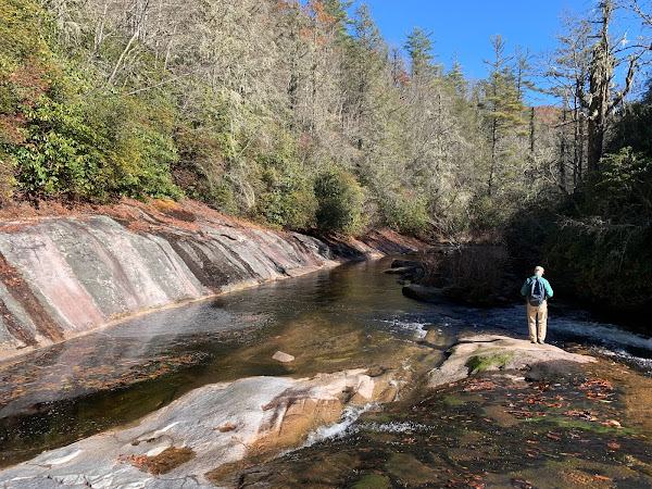
We saw 3 waterfalls, but they were a little challenging to photograph, as we were looking into the sun when viewing them.


No comments:
Post a Comment