| Date | Distance | Time | Elevation Gain | Average Moving Time | Year to Date Miles |
|---|---|---|---|---|---|
| 11/7/2021 | 6.8 miles | 4 hours 5 minutes | 871' | 2.0 | 433 |
Map:
- 100 Favorite Trails of the Smokies and the Carolina Blue Ridge (for directions)
- National Geographic Pisgah Ranger District (for map)
Parking: Route 276 to Forest Service Road 477 north, past horse stables. Small parking area at trailhead. Fits around 6 cars.
Carolina Mountain Club Challenges:
Carolina Mountain Club Challenges:
- 100 Favorite Trails Challenge, hike #63
- Pisgah 400 Challenge - #103 Buckthorn Gap Trail (partial), #604 Twin Falls Bypass, #342 Clawhammer Cove Trail
- Waterfall Challenge, Twin Falls
Directions: See 100 Favorite Trails map
I was hoping to hike with Glen today, but he's still in NY dealing with house stuff. So I joined the Carolina Mountain Club on this hike. They had some last minute drop outs, likely due to the water crossings on this hike.
It was 27 degrees out when I woke up today. Yes, we've been here for 5 months, and no we haven't unpacked everything. So this morning I dug around and pulled out all of my winter gloves and mittens. Yes, we own a lot of gloves and mittens. There are more not pictured here that belong to Glen. Do we have too many gloves and mittens? I think not, lol. Wait, I thought the south is supposed to be warmer than NY! I brought lots of cold weather gear for this hike, but it was an afternoon hike, and by the time we got to the trailhead it was a toasty 60 degrees. It turned out to be a sunny, blue skies, comfortable day. A great day for water crossings! No jacket needed. I left my winter mittens, neck gaiter, extra socks, etc. in the car.
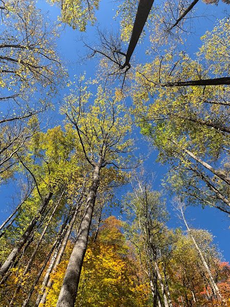
This hike had a number of water crossings on the way to Twin Falls. We mostly kept dry. Some of the water crossings had log bridges, and on some the bridges had been wiped out, but we could rock hop across. These trails are multi use, so we'd occasionally have to step aside to let a mountain biker pass. We stopped at a camping spot near the waterfall for a lunch break. The yellow jackets were out, but no one got stung. There were actually two waterfalls. I'm guessing the two waterfalls together count as the "twin" falls, though the left of the two waterfalls had two drops, so at first I thought maybe that is what was meant by "twin" falls. There is a trail between the two waterfalls. Leaf color is still at peak.
Close to the end of the hike, we did have the option of a sketchy log crossing or fording a knee deep stream. I chose fording. Much safer, and very refreshing. Our trip leader, Karen, had given us a heads up about the ford ahead of time, so I came prepared with Crocs.


No comments:
Post a Comment