
| Date | Distance | Time | Elevation Gain | Average Moving Time | Year to Date Miles |
|---|---|---|---|---|---|
| 7/6/2019 | 2.8 miles | 264.7 |
Map: https://www.summitpost.org/charles-mound/152963
Parking: See summitpost site.
Directions: Take dirt road behind metal gate about 1.4 miles to summit.
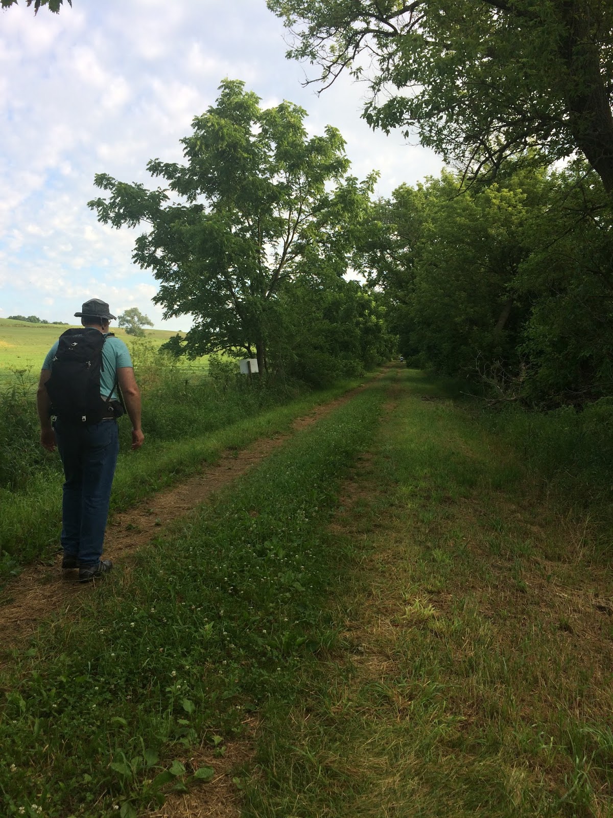
We planned a side trip to visit the Illinois state high point, Charles Mound. The high point is on private property (a farm), and the owners only allow access 8 days of the year. This worked out well with the timing of our trip, so that we could visit the summit on one of those 8 days. We spent the night in Galena, Illinois, which is a tourist town close by. We woke up early and drove to the road the farm was on. There were three other cars there. We normally don't meet other highpointers, but with the limited number of access days, we were more likely to see them. The hike is up a wide dirt/grass road, passing by corn fields. It was very hot and humid, and we were dripping sweat by the time we reached the high point. We talked to a family of highpointers on the way up. They had done 38 high points already, including some of the harder ones, like Mount Rainier. They were actually from New York, and were visiting 5 high points this week. Glen and I only target doing 2 each year. This high point had 2 geodesic markers and a register. The summit is at 1,235 feet.
 |
| Parking is along the road. The trail is behind the gate. |


 |
| Summit register |

No comments:
Post a Comment