
| Date | Distance | Time | Elevation Gain | Average Moving Time | Year to Date Miles |
|---|---|---|---|---|---|
| 3/27/2024 | 4.8 miles | 2 hours 52 minute | 818' | 1.9 mph | 190.3 miles |
- Cosby Picnic Area
- National Geographic Great Smoky Mountain National Park East
- From the picnic area parking lot, turn right onto the road and then left onto the Gabes Mountain Trail. At the first intersection, turn right to follow the Gabes Mountain Trail. Turn right at sign to Hen Wallow Falls. Visit falls, and then hike back up to the Gabes Mountain Trail. Turn right onto the Gabes Mountain Trail and stop at the top of Hen Wallow Falls. Turn around and return back to the Cosby Picnic Area.
Oh Gatlinburg... We had planned a hike to Rainbow Falls in the Smokies today. We knew part of the road was still closed for the winter, so we were expecting a mile or two of road walking. But it was worse when we got there. The road before the expected closure was closed as people were working on utility pole wires - we later read there was a wind storm in the smokies which caused several roads to be closed. Time for plan B. My plan B was doing a hike from the visitor center, 3.2 miles away. Well, it was going to take 30 minutes to drive those 3.2 miles due to Gatlinburg craziness. Time for plan C. We saw an equestrian trail we could take. When we got there, the road was gated as well. Time for plan D. We ended up at the Cosby Picnic area and decided to do a waterfall hike. Woohoo, parking was okay. The parking lot was packed, which surprised me for a Wednesday.
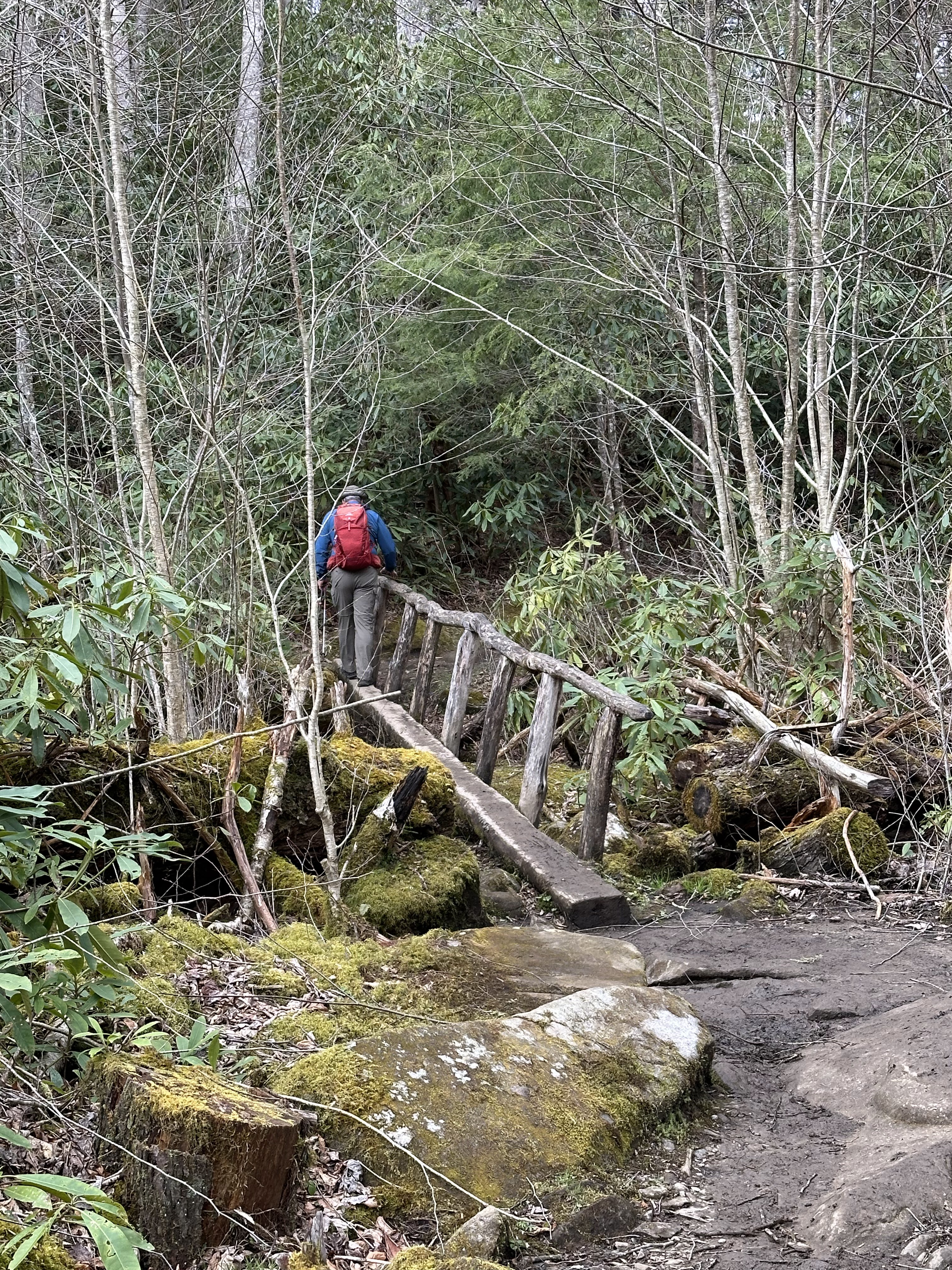
The trail was also packed. It's a pretty hike, but a lot of people were out. The trail is quite "rooty" and has some muddy spots. There were 3 nice log bridge crossings. The waterfall was nice, but again, there 25 people at the falls.


 |
| Checking out a cave on the side of the trail |
No comments:
Post a Comment