
Distance: 7.4 miles
Time: 4 hours 46 minutes
Elevation gain: 1,927'
Altitude: 8,915' - 10,188'
Year to date miles: 562.7
Year to date miles: 562.7
Directions:
Rocky Mountain National Park Dayhiker's Guide by Jerome Makitz
Map: National Geographic Rocky Mountain National Park (200)
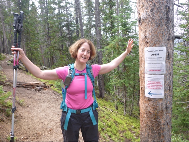
Parking: Timber Lake trailhead
We were very disorganized for this hike. The trailhead is over an hour from Estes Park. We got halfway there and stopped at a rest area at an overlook. It was super cold and windy. I had plenty of upper body warmth layers with me but I was only wearing very lightweight hiking pants. I chill easily, so we went back to the hotel to get warmer pants. On the positive side, we saw a coyote on our way back.
So, we got a late start. We arrived at the trailhead to find no other hiker cars there. Reading the information at the trailhead -it said there was a landslide across the trail and the way above and around it was exceedingly difficult. I had a vague recollection of reading about this at home. It all seemed very minor when reading about it at sea level. Apparently I wasn't thinking about altitude and thunderstorms at the time! In addition, I realized I had misremembered the mileage. The hike was longer than I thought. The forecast was for a chance of thunderstorms at 3pm, so we figured we had better be done by 2pm. Cell service is pretty non-existent out here, so you can't re-check the forecast while hiking.
We decided to try it and see how difficult the path around the landslide was. It was 38 degrees when we started, but the hike was mostly wooded, so at least we were protected from the wind. The hike didn't have much in the way of views. But it was a nice wooded hike. It was a great hike to get away from the crowds. We barely saw anyone. We reached Timber Creek where the trail intersects with another trail. The sign said we still had 1.7 miles to go to Timber Lake - and we knew there was still a lot of elevation gain left. We decided to turn around, knowing we wouldn't make it all of the way and be able to get back before the thunderstorm. So, we were a bit disappointed about not reaching the lake and not hiking up to 11,000', but I'm so not comfortable with hiking in storms even though we were below tree line.
We finished the hike without hearing any thunder. We decided to stop by the Alpine Visitor Center to give us more time to acclimate. There is a short walk from the visitor center to a viewpoint that is at 12,000'. The sky looked ominous so we didn't spend long there. We stopped by the cafe there where Glen sat down because he was feeling lightheaded. We then went to look at the displays at the visitor center. And of course I had to stop and watch the ranger presentation on lightning. I figure the more I learn about something, the less I'll fear it. There wasn't much he said that I didn't know (I've already done my own research), but he did have a cool lightning detector. I didn't know such things existed! He could tell whenever there was a lightning strike within 45 miles, and how close it was. And yes, there were multiple strikes during his talk.


No comments:
Post a Comment