
Distance: 8.1 miles
Time: 5 hours 10 minutes
Map: Catskill Trails Map Set
Parking: Room for around 20 cars at the end of Denning Road in Denning, NY
Restrooms: None
Notes: Catskill 3500 footer #17
Post hike dinner: Garden Cafe on the Green, Woodstock
Directions: Very well marked. From the trailhead follow the Phoenicia East trail. Turn right on the Peekamoose Table trail. Watch for an unmarked turnoff to the right to a view. Pass a sign for a spring to the left, and a sign for a lean to on the right. Watch for another unmarked turnoff to the right to a view. Continue to the summit which is wooded. Many people continue a little further to Peekamoose, but we skipped it today.
Notes:Very nice weather - cool in the 50's and 60's. Long, moderate hike. There are a couple of easy bridge crossings. Also one "stringed" bridge crossing. If one has vertigo, the stringed bridge crossing across two logs might be difficult. It was late summer, so the water was low, and it was possible to find a place to rock hop across the river.
Year to date miles 278.2
 |
| Sign at trailhead |
 |
| Parking area |
 |
| Trail register |
 |
| Location where you turn right towards Table. |
 |
| A nice easy bridge crossing. The river was low as well. Trek doesn't like these bridges because of the holes between the slats. |

 |
| Nice to see the beginnings of fall foliage |
 |
| The stringed bridge. Two logs with a string. Height is about 15 feet above the river. Not so good if you have vertigo. |
 |
| The dogs had no problem - just like doing a dogwalk. |
 |
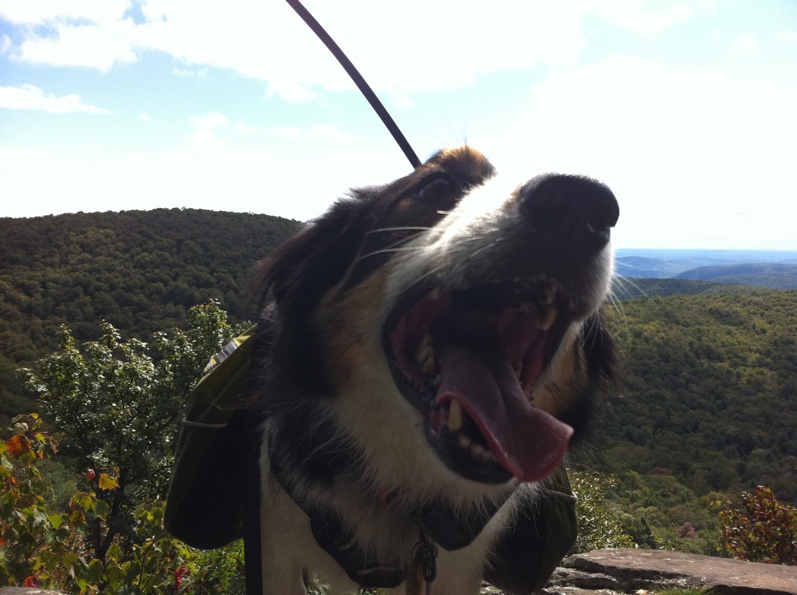
| The first viewpoint, just off the main trail. |
 |
| The spring was still running. We brought a water filter too. The weather was really cool though, so we didn't have a problem with a water shortage. We once hiked Peekamoose and planned to do Table, but it was hot and we were very low on water due to drinking so much. After that trip, we bought a water filter. |
 |
| We stopped by the lean to - no photos - there was a dog there, and Trek didn't want to visit it. |

 |
| Another side trail right before the summit leads to a view. |


 |
| We didn't see a sign for the summit, but we did find a cairn, and then the trail started dropping down. |
No comments:
Post a Comment