
Distance: approx. 7.5 miles
Time: 6 hours 25 minutes
Map: Catskill Trails Map Set
Parking: Room for around 20 cars at the end of Prediger Road. The parking lot was packed when we arrived. We were the last ones to leave. Note - Platte Clove Road - my books I have recommend not coming from one approach.
Restrooms: None
Notes: Catskill 3500 footers #18 & 19
Post hike dinner: Chipotle, Kingston
Directions: Take the Devil's Path (red) for 0.2 miles. Turn right on the Jimmy Dolan Notch trail (blue) and follow to it's end at the notch. Turn left on the Devil's Path (red) and hike up to Indian Head (no view). Continue a short ways past the summit to get a view. Return to the notch, and continue straight (still on the Devil's Path) and start hiking towards Twin. A viewpoint will be on your left (ledge). You will arrive at the first of Twin's summits (large rock slabs, fabulous view). Continue on until you reach the second of Twin's summits (another great view). Return to the notch. Take the trail to the right behind the notch sign. Walk past the stone sofas, and go down to a view on a narrow ledge (be careful!). Return to the notch sign. Take the trail to the left behind the notch sign and hike to the view. Return to the notch sign. Return on the Jimmy Dolan Notch trail (blue). Turn left on the Devil's Path (red) and continue 0.2 miles to the parking area.
Notes:
Year to date miles 285.7
 |
| Sign at the trailhead. Start out on the Devil's Path (red) for 0.2 miles. |
 |
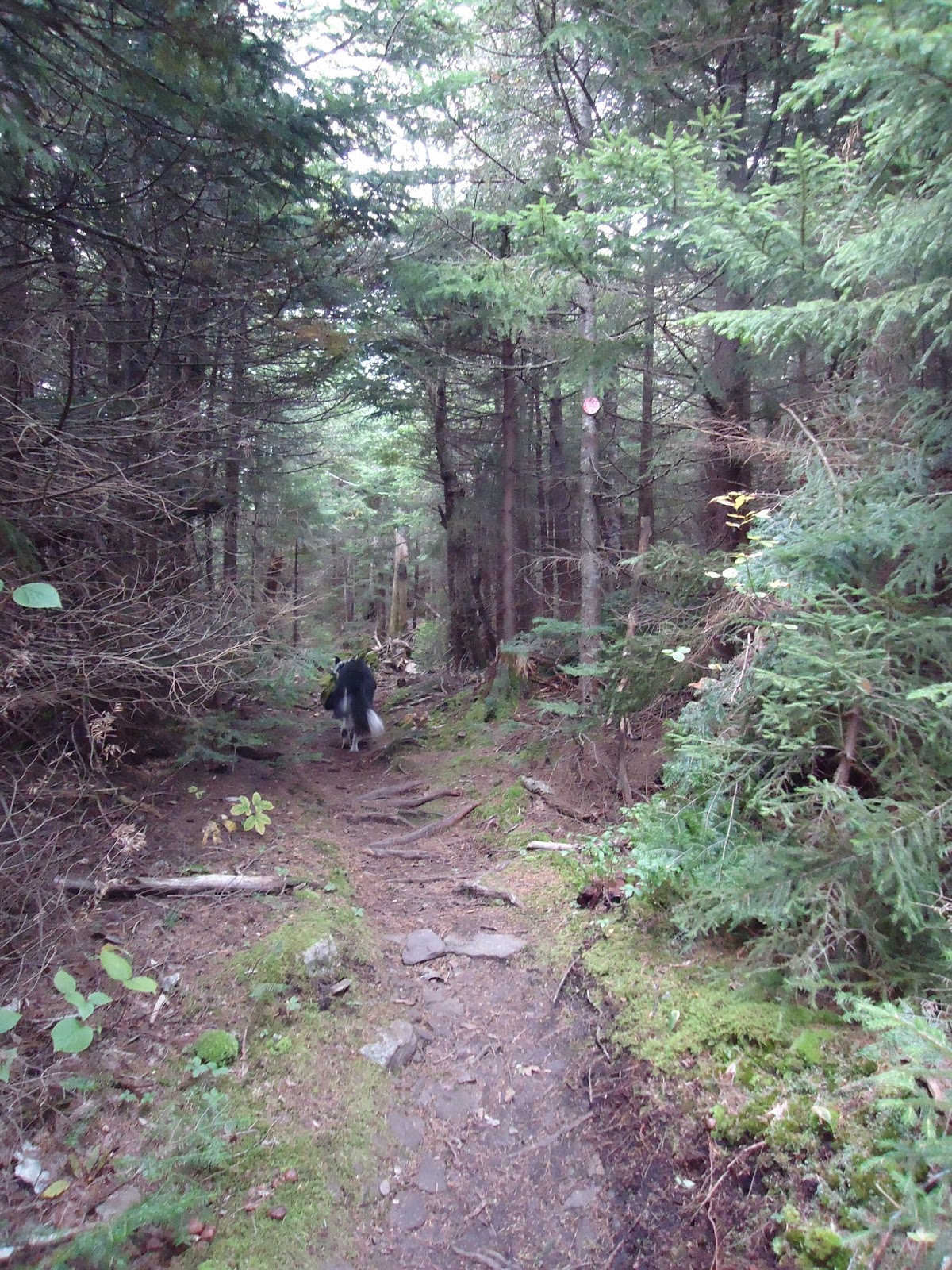
| Turn right onto the Jimmy Dolan Notch Trail (blue). This trail starts out pretty level, but has a steep climb at the end. |

 |
| At the end of the Jimmy Dolan Notch trail, we turned left first onto the Devil's Path to hike up Indian Head Mountain. After completing that summit, we came back to this intersection and headed to Twin Mountain. After completing that summit, we came back here and went to see the notch view (behind this sign). Then we returned on the Jimmy Dolan Notch trail to the car. |
 |
| On the way up Indian Head on the Devil's Path. |
 |
| 3500 foot sign, not far to go. |

 |
| The Twin summit is wooded, so we continued a little ways past it to get a view before returning |

 |
| There was no summit sign, but we noticed an X on a rock which appeared to be the summit. |
 |
| We tried to get a photo of each of us having a foot on the summit. Moxie said the didn't want to stand so close to Trek, so we only got 3 of us. |
 |
| The Devil's Path has a lot of rock climbing. It is tiring stuff. |


 |
| 3500 foot sign on the way up to Twin |
 |
| There is a ledge shortly before the first summit. Looking out to Indian Head where we just came down from. |
 |
| Panoramic view - the first of Twin's two summits. This was my favorite one. Beautiful panoramic view and rock slabs at the top. |

 |
| I wanted to take a nap here. Moxie wanted to play with sticks. |


 |
| Continuing to Twin's second summit. Mostly a ridge walk, but still some rock climbing. |
 |
| Twin's second summit. |

 |
| Back on the first summit - Moxie still wanting someone to throw twigs for her. |
 |
| Returning to the notch. There is an unmarked trail to the right behind this sign (shown in photo), and another to the left behind this sign (not shown). |
 |
| First we took the trail to the right, and came across this cooking area, with two stone couches. |
 |
| The trail ends at a teeny outlook with a steep dropoff. View of the notch ahead. |
 |
| Another view of the notch to the right. |
 |
| We returned to the sign, then took the trail to the left of the sign. |
 |
| Another view of the notch. |
No comments:
Post a Comment