April 25, 2013
Distance: 4 miles
Time: 1 hour 43 minutes
Year to date miles: 59.4
Map:
Teatown Kitchawan Map or
Yorktown Walkbook
Parking: Blinn Road, Ossining, NY. Only room for 4 cars. Parking lot on the right side (if coming from Spring Valley Road)
Post hike dinner: none
Restrooms: none
Directions:
From parking lot, head towards kiosk. The trails aren't particularly well marked. Nor did the colors necessarily match the maps we found. And there are unblazed trails. Follow the purple (in combination with yellow) blazed trail. Where the purple stays straight, and the yellow turns right, and Bald Mountain is ahead of you and to the right, turn right onto the yellow blazed trail and follow to the summit. If you miss this turn and go straight on the purple trail (as we did), Bald Mountain will be on your right and you will reach signs for the New York Watershed. Entrance to this area for hiking is by permit only (available online) and dogs aren't allowed, so we turned around at this point and then found the trail to the summit of Bald Mountain.
After returning to the parking lot, we still had time, so we turned right onto Blinn Road, walked 450 feet, and then turned right on the green blazed Briarliff Peekskill Trailway, which follows a stream on the right. At a certain point it leaves the stream and heads to the left. At this point the trail is very overgrown and confusing. It didn't seem well blazed. We did end up at Quaker Ridge Road, as expected. We turned around and took another trail back (again green, but poorly or not blazed). So, not sure what the correct trail was, but we did manage to find our way back to the stream, at which point we turned right and retraced our steps back to the road and our car.
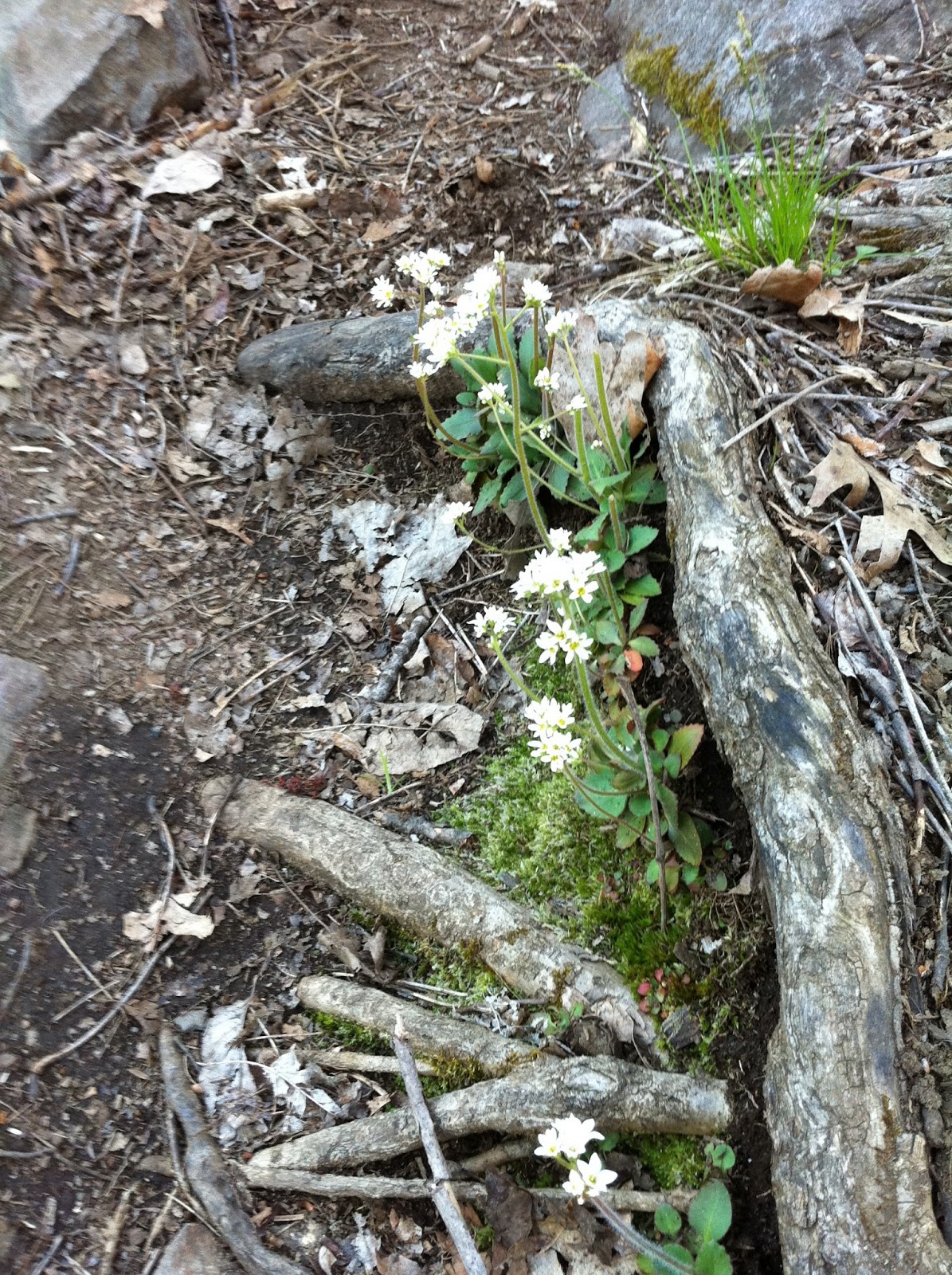
I've seen this hike described as not very interesting. The views at the summit are obstructed. But, I did enjoy this hike. It felt much more natural than the Teatown Lake area.
 |
| Sign marking the park entrance |
 |
| Kiosk. Map on left shows John Hand Park and hike to Bald Mountain. Map on right shows how the trail continues in both directions. |
 |
This is the first half of our hike today. The blue area represents watershed lands.
The Teatown - Kitchawan trail continues through the watershed, but is by permit only, and dogs aren't allowed. |
 |
| We start off following the purple blazed Teatown - Kitchawan Trail. The yellow trail follows it at first. |
 |
| When we hit this sign, it meant that we missed the turn to Bald Mountain. |
 |
| Here is the turn to the summit. Following the yellow trail. |
 |
| There were several signs on the way to the summit - the land right next to the trail is DEP land again. |
 |
| Summit of Bald Mountain |
 |
| Looking out at the obstructed view. Still enjoyable though. |
 |
| Returning to the parking area and road, turn right on the road. |
 |
| Parking area for the park. |
 |
| The Briarcliff Peekskill trail starts out following a stream. |
 |
| We reached Quaker Ridge Road and turned around to retrace our steps. |
 |
Yikes. The Briarcliff Peekskill Trail is seriously overgrown. And blazes almost non-existent.
Or maybe we weren't on the correct trail? |
 |
| Stopping for a swim before heading home. |


No comments:
Post a Comment