| Date |
Distance |
Time |
Elevation Gain |
Average Moving Time |
Year to Date Miles |
| 9/10/2024 |
3.3 miles |
1 hour 53 minutes |
143' |
1.6 mph |
560.2 miles |
Parking:
Map:- Pisgah Map Co., Pisgah Ranger District
Directions:- Take the paved Lodge Trail from the parking lot. Turn left onto the Hard Time Connector. Turn left on 480. Turn right and continue to Lake Powhatan. Circle the lake counterclockwise, following the Homestead Trail. Make your way back to the Hard Times Connector, then right on the Lodge Trail to return back to the trailhead.
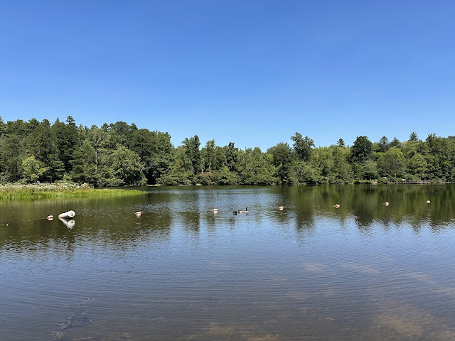
My PT suggested trying to go somewhere with sand to walk/exercise today. Finding sand in WNC is not easy, especially past Labor Day. So, we headed to Lake Powhatan where there is a small sand beach. Dogs aren't allowed on the beach, so Krumm and Glen sat alone, and I walked in circles on the beach for 10 minutes. It was really boring, as the beach is tiny. The sand was firm too, so it really wasn't what I was looking for. After that, we let Krumm swim next to the beach. He was thrilled.
 |
| Lake Powhatan beach area. |
 |
| Letting Krumm swim in the lake |
 |
| More sticks, please |


No comments:
Post a Comment