| Date |
Distance |
Time |
Elevation Gain |
Average Moving Time |
Year to Date Miles |
| 8/11/2024 |
7 miles |
4 hours 4 minutes |
961' |
1.9 mph |
541.4 miles |
Parking:
- Avery Creek Road, horse stables.
Map:- Gai Gps app
- Pisgah Map Co., Pisgah Ranger District (for navigation)
- 100 Favorite Trails of the Smokies and the Carolina Blue Ridge (for directions)
Directions:- From the riding stable parking lot, turn right on the road and follow the road to the trailhead described in the 100 Favorite Trails map. Then follow directions of the loop in the 100 Favorite Trails map.
Carolina Mountain Club Challenges:
- 100 Favorite Trails, Twin Falls Loop
- 100 Waterfalls Challenge
Avery Creek Road has been closed past the horse stable since January 2024. As a result, we had to hike in 1/2 mile extra to get to the trailhead. There are a bunch of camping spots on Avery Creek Road. I think it would be fun to car camp here. This is a lower elevation hike. Temps in the 70's, but very humid, so whenever we hiked uphill, we were hot. This hike is on the CMC's 100 Favorite Trails list. I've done the hike before, but Glen hasn't so I joined him so he could do it. Third day in a row of hiking with no rain. The terrain on this hike was mostly very nice. Smooth, not rocky. My foot appreciated it. We stopped at the falls for a snack, and to let Krumm play. I think I remember having to wade during this hike, but today we were able to rock hop across all of the stream crossings. We saw a lot of mushrooms on the hike. After continuing past the two falls, we heard a sound that made us both pause. A loud rattling. We stopped. It was a constant sound. Rattlesnake? Locust? Cricket? We didn't see anything. But we both stopped, because it just seemed much louder than an insect sound. We waited and listened for a couple of minutes. Glen decided to continue on to investigate. Then he yelled, jumped and ran. There was a large, coiled rattlesnake 3 feet from the trail. Ack. So now we were separated with a rattlesnake between us. Krumm and I bushwhacked off the trail to get around it. Then stopped to take a photo from a distance. That was exciting. The rest of the hike was calmer, lol. There were a lot of downed trees on this hike which we'll report. On the way home, we stopped at Dolly's for ice cream. A nice way to cool off after a sweaty hike.
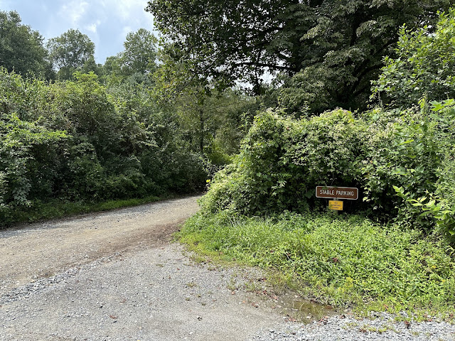 |
| There is plenty of parking at the horse stable. |
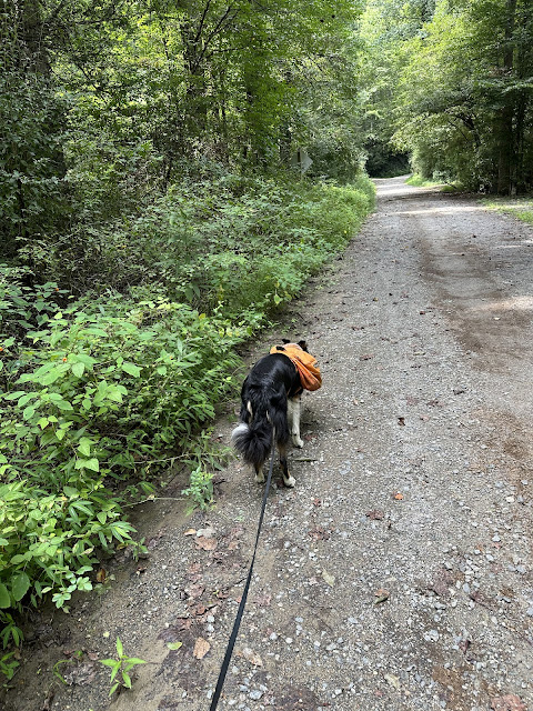 |
| Walking down the road past the stable. |
 |
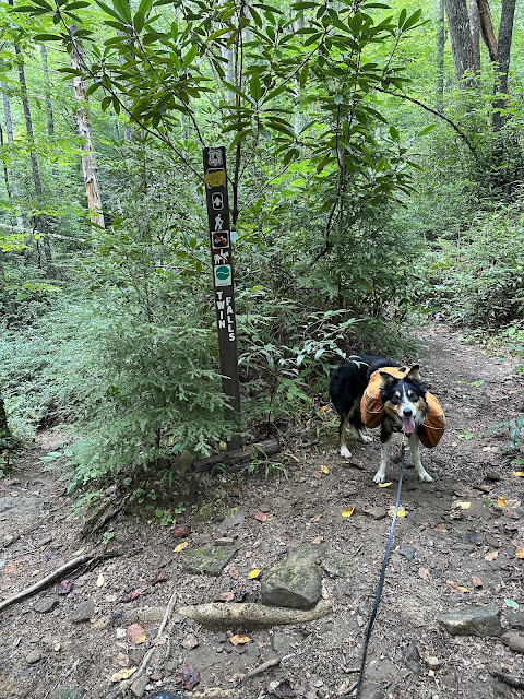
| Trailhead |
 |
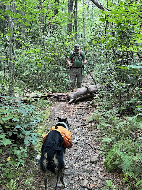
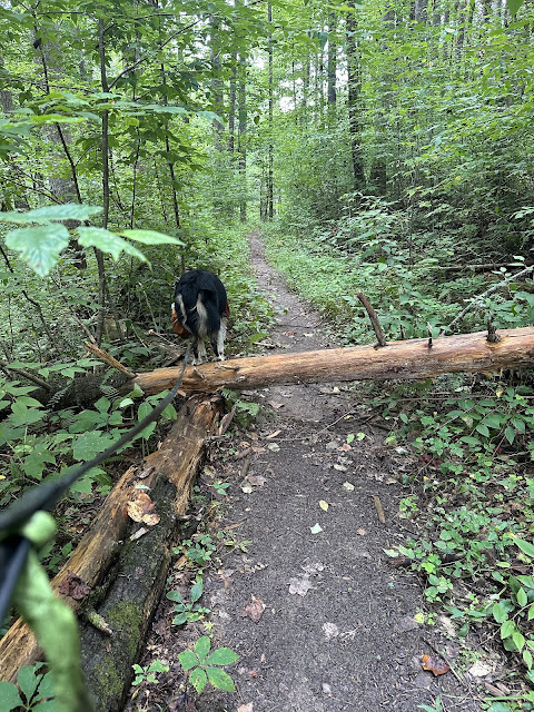
| We found a lot of down trees today, which we'll report. |
 |
| Always happy with any hike that involves water. |
 |
| This seems like a scary bridge for a dog, but he walked across it 3 times! |
 |
| Puffballs! |
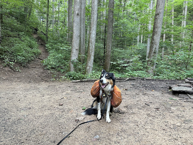 |
| Campsite near the falls |
 |
| The second of the falls |
 |
| Well camouflaged timber rattlesnake |
 |
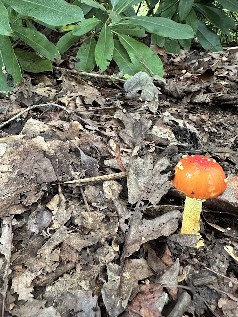
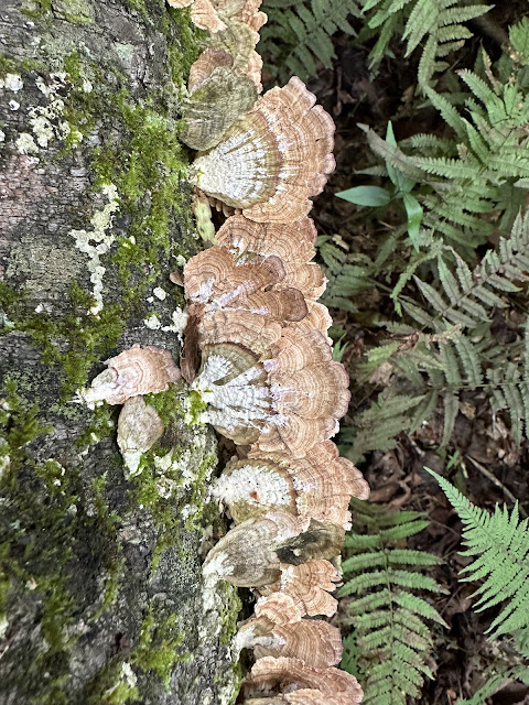
| This mushroom reminds me of a topo map. Or maybe a carnation. |
 |
| This reminds me of Chihuly |
 |
| Horse stable |










No comments:
Post a Comment