| Date |
Distance |
Time |
Elevation Gain |
Average Moving Time |
Year to Date Miles |
| 2/22/2024 |
4.6 miles |
3 hours 3 minutes |
735' |
1.9 mph |
98.6 miles |
Parking:
- Pisgah Center for Wildlife Education
Map:- Pisgah Ranger District, Pisgah Map Co.
Directions:- Follow Cat Gap Loop Trail clockwise; right onto John Rock Trail to the top of John Rock and return via the same route.
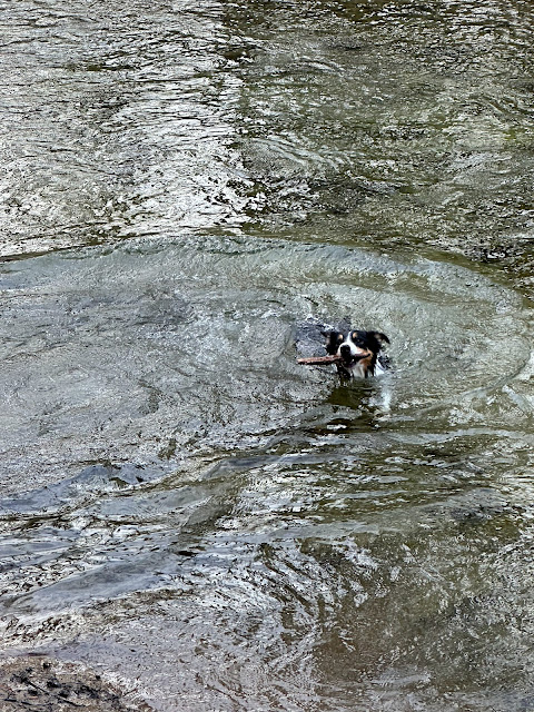
Today's hike was a scouting trip for a CMC hike I'll be leading next month. It's been a long time since I've even been on a CMC hike! Beautiful weather today made for a nice hike. We encountered lots of people on the trails at the beginning of our hike, but we ended up having John Rock to ourselves. Beautiful view of Looking Glass Rock at the summit. I took out my compass to practice - I love the Pisgah Map Co. maps, but I wish they had latitude and longitude lines. We let Krumm have a swim in the river on the way back - cold but apparently worth it.
 |
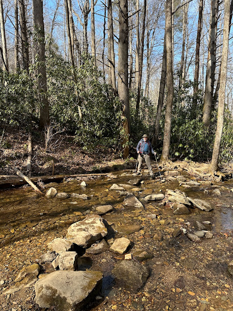
| Able to rock hop this one easily |
 |
| Side trail to John Rock |
 |
| View of Looking Glass Rock from John Rock |
 |
| Fish hatchery on the right |
 |
| At first, he'd only wade in the river. |
 |
| Brrr.... |


No comments:
Post a Comment