| Date | Distance | Time | Elevation Gain | Average Moving Time | Year to Date Miles |
|---|---|---|---|---|---|
| 1/18/2023 | 9.4 miles | 5 hours 33 minutes | 2,359' | 2.0 | 64.3 |
- Gloucester Gap Art Loeb Trailhead
- Trailhead is not accessible via FR 475 since Hurricane Fred in 2021. You can park at Daniel Ridge Falls Trailhead, 2 miles away from Gloucester Gap.
- Can drive 8 miles on unpaved Cathey's Creek Road all the way to Gloucester Gap
Map:
- Gaigps (even better for navigation)
- Pisgah Map Co., Pisgah Ranger District (for navigation)
- 100 Favorite Trails of the Smokies and the Carolina Blue Ridge (for directions)
- See 100 Favorite Trails Map
Carolina Mountain Club Challenges:
- 100 Favorite Trails, #57 Pilot Mountain Loop
- Pisgah 400, Art Loeb Trail (Deep Gap to Gloucester Gap)
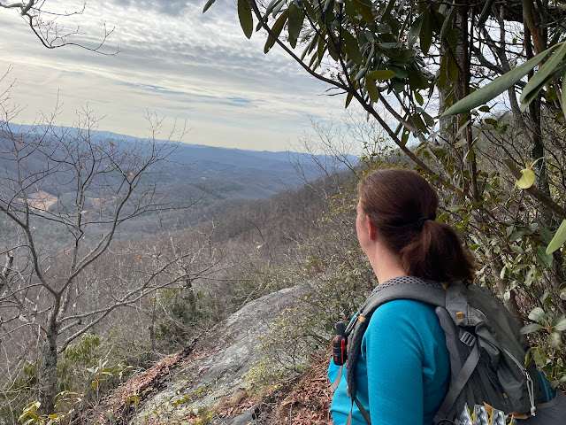
Planning winter hikes can be challenging. Today we were meeting Phyllis and Paul for a hike in Pisgah. We drove down Forest Road 475 towards Gloucester Gap. When we reached Daniel Ridge Falls Trailhead, there was a gate across the road. Our car said that it was another 2 miles to Gloucester Gap. The CMC map advertises this hike as a 7-mile hike. What's an extra 4 miles? We decided to go for it. Somehow in the end, our mileage came out to 9.4 miles, not 11 miles. No snow, so no need for microspikes.
We walked up 475, which we agreed would require a high clearance truck even if it was open. When we got to Gloucester Gap, we did see another road to that intersection was open, so maybe we could have driven a different way. I soooo wish there was a thorough Pisgah guidebook which explained these things. I did get a recommendation for one Pisgah book which I'll need to get, but I long for something like the AMC guidebooks. Just knowing where you can/can't drive in the winter would be really helpful. Something more than reading comments in AllTrails.
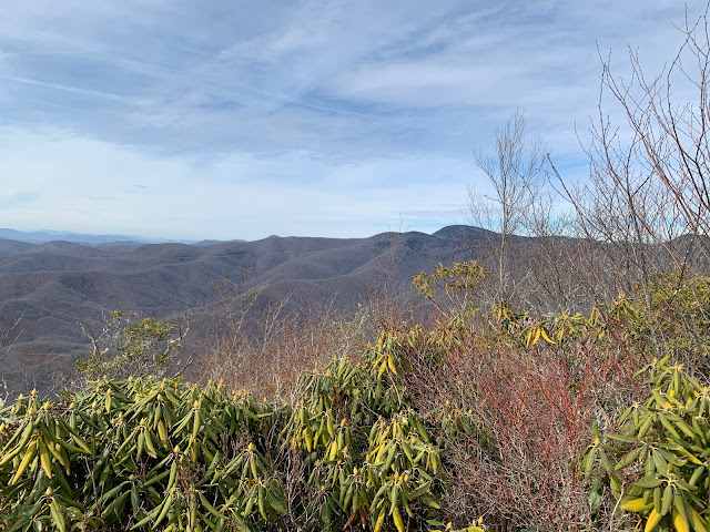
After our 2 mile walk up to the trailhead, we started up the Art Loeb Trail. It was hard. The trail is steep with a lot of elevation gain in a short distance. There were lots of switchbacks, but all of us were panting pretty had. Surely, we'll be fit after this hike, lol. We took lots of breaks. The CMC map advertised it as 2,500' gain (from Gloucester Gap), but somehow, I only ended up with 2,359' gain which included the 2 miles up the forest service road. By the way, Pilot Mountain has a false summit. You think you see the top, but it's not. It was just a temporary reprieve. When we reached the summit, we took a much-needed lunch break. Ah! It was all downhill from there. The hike down flew by. The rest of the hike was a mix of forest service roads and the Art Loeb Trail.
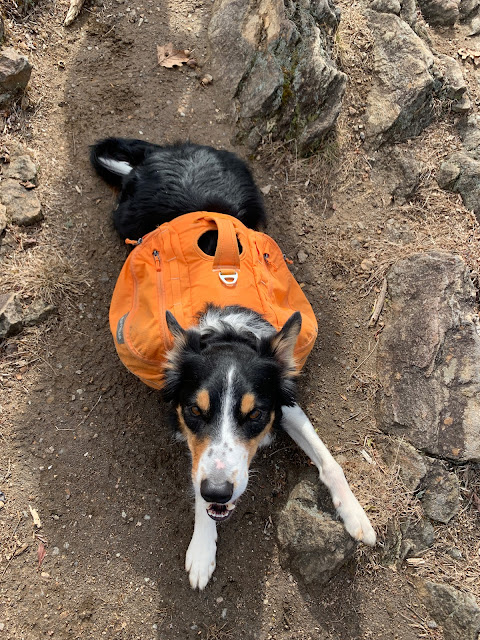
On the way home we stopped at a river to let Krummholz take a swim. He thought that was an awesome way to end the day.
 |
| Looking Glass Rock |
 |
| Photo from Phyllis |
 |
| Photo from Phyllis |
 |
| Post hike swim |


No comments:
Post a Comment