| Date |
Distance |
Time |
Elevation Gain |
Average Moving Time |
Year to Date Miles |
|---|
| 6/5/2022 |
6.4 miles |
4 hours 6 minutes |
659' |
2.1 mph |
491.6 |
Parking:
Maps:
- Pisgah Map Company, Dupont State Recreational Forest (for navigation)
- 100 Favorite Trails of the Smokies and the Carolina Blue Ridge (for directions)
Directions:
- See 100 Favorite Trails map
Carolina Mountain Club Challenges:
- 100 Favorite Trails Challenge, Hike #68
- Waterfall Challenge, Bridal Veil Falls
I had done this hike last year on my own while Glen was out of town. My sister is visiting and wanted to see waterfalls, so this would be a chance for both Glen and her to see the falls. We went on a Saturday and drove by several full parking lots in Dupont. Uh oh. Luckily, we found a spot to park at the crowded trailhead.
We saw some people hiking up the rocks to the left of the waterfall. We found that you can access that area by a side trail, so we climbed up. From there we could see the upper falls which you can't see from the bottom.
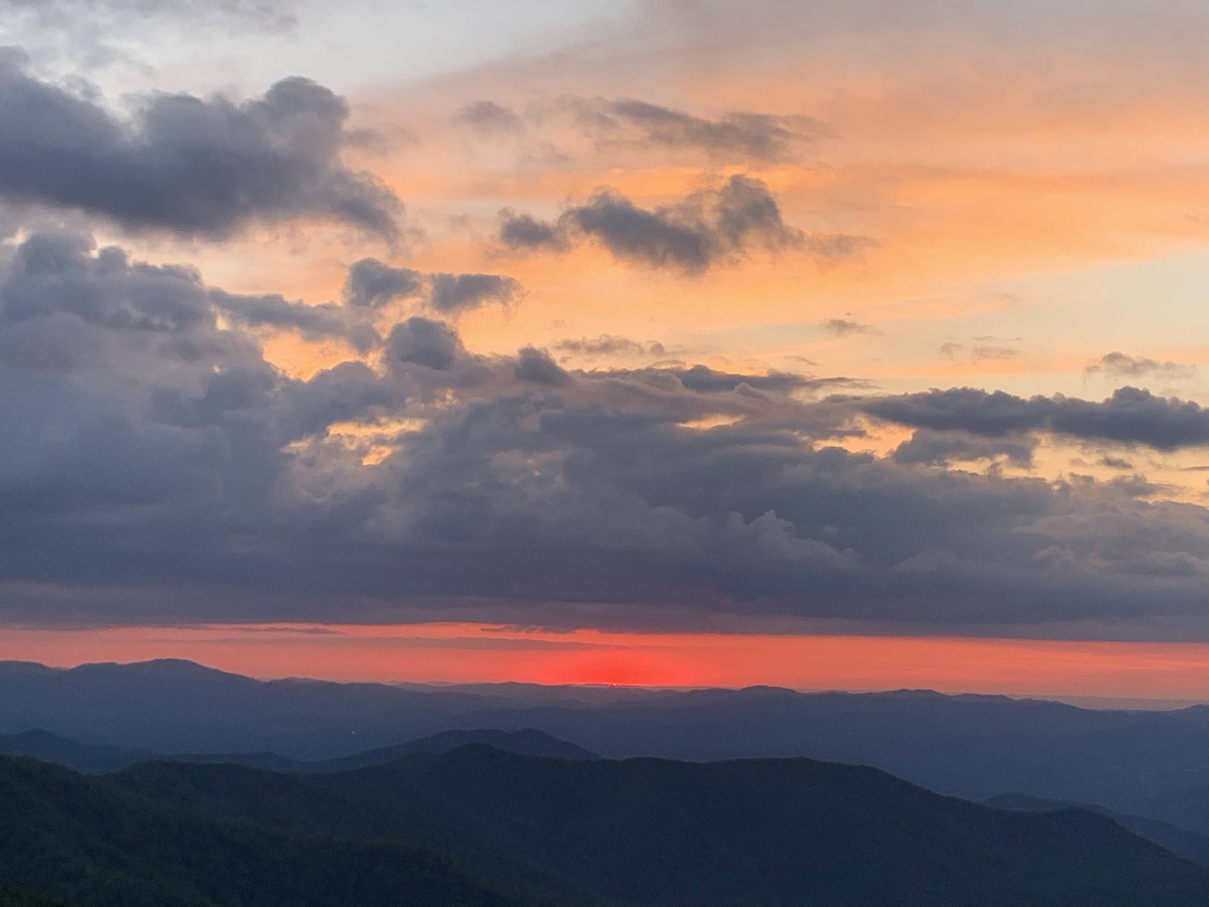
In the evening, we took a drive to the Craggy Gardens Visitor Center to watch the sunset and take a million photos.
 |
| Lower section of the falls |
 |
| Upper falls |
 |
| Walking down the airstrip |
 |
| Ready for takeoff |


No comments:
Post a Comment