
| Date | Distance | Time | Elevation Gain | Average Moving Time | Year to Date Miles |
|---|---|---|---|---|---|
| 11/25/2021 | 5.6 miles | 3 hours 8 minutes | 830' | 1.9 mph | 492.8 |
Map:
- GaiGaps app
Parking: Craven Gap
Directions: Craven Gap to Haw Creek Overlook. Return the same way.
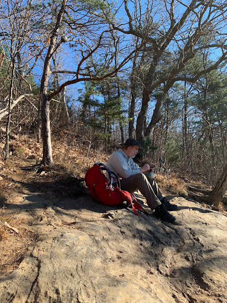
We slept in today, tired from yesterday's hike. We didn't have a lot of time, so we chose a hike closer to home. The parking area is a dirt area on the side of the Blue Ridge Parkway. There is around a 6" drop off from the parkway to the parking area (poor car) - it looked less bad at the end of the area, so we chose to pull off there. This isn't my favorite parking area, as its after a curve, and cars come by very quickly with limited visibility. No road crossing to start the hike though.
The trail is well used, so the leaves were packed down more than on other hikes we've been on lately. The trail is mostly level with just gradual inclines and declines until you get closer to the overlook. Approaching the overlook, the trail descends moderately steeply. I shuffled ever so slowly down the hill, trying not to slide on the leaves. We saw one jogger, sprinting full speed down the hill. What the hell? How on earth does he do that? There is a small well worn side trail on the right side of the MST that leads to the overlook. There were a number of people coming and going. Its a popular hike - probably more so coming from the other direction. The overlook looks over the Asheville neighborhood of Haw Creek, which is just west of the Blue Ridge Parkway. We stopped and had a snack and enjoyed the view. Heading back, we had a steepish climb at first. Once the trail leveled out at the top of the hill, the hike was easy going. We heard gunshots in the distance, but I've heard hunting is not allowed on the Blue Ridge Parkway, so I assume that includes at least this portion of the MST, which parallels the parkway.


No comments:
Post a Comment