| Date | Distance | Time | Elevation Gain | Average Moving Time | Year to Date Miles |
|---|---|---|---|---|---|
| 8/1/2021 | 1.1 miles | 59 minutes | 192' | 1.8 | 187.2 |
Parking: See book
Directions: See book
This hike is part of the Carolina Mountain Club Waterfall Challenge (WC100).
There was a 50% chance of thunderstorms and rain today, so we decided to spend the day doing short hikes to waterfalls. That way if we got caught in a storm, it would be a short hike out. We decided to focus on waterfalls in the Rosman area, which is near Brevard. Our first hike was to Dills Falls and Upper Dills Falls. The book which we have is excellent, but doesn't have trail maps. We got along without one, but wished we had printed out trails from Gaia ahead of time. The last 2.5 miles of driving to the trailhead is along an unpaved forest road. It was in decent shape, though there was kind of a big drop off between the paved road and the forest road. The forest road is a one lane road, but luckily we only came across 3 cars during our drive.
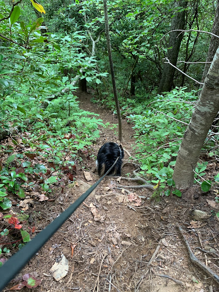
We were the only ones at the trailhead. At the parking area, we saw 2 trails. We took the left trail first, and headed to one of the falls. This was an easy hike. Plus the falls were nice, and we had them to ourselves. The falls had a small pool at the bottom, and we stopped and threw sticks for Krumm. We hiked back to the car, and then took the right trail next. This one is steeper, and has a very steep trail to the bottom of the second falls. Yikes. I went very slowly - being careful for my ankle. This falls had no pool and was less impressive than the first one. We didn't stay long. The climb back up was steep, but I wasn't concerned about falling.


No comments:
Post a Comment