| Date | Distance | Time | Elevation Gain | Average Moving Time | Year to Date Miles |
|---|---|---|---|---|---|
| 6/23/2021 | 2.9 miles | 1 hour 32 minutes | 816' | 1.9 mph | 126.7 |
Map: Gaia
Parking:
- 35.65466, -82.44064
- End of Shope Creek Road, Asheville, NC.
- The end of the drive is on a dirt road with potholes. The road goes over a shallow stream.
- Parking for around 10 cars.
Route: Google Maps
For information on trails from the Shope Creek trailhead:
- https://www.hikewnc.info/trailheads/shope-creek/
- Gaia GPS
We want to become familiar with the trails from this trailhead, so we partially repeated yesterday's hike, but modified it. Today's hike was a lollypop hike.
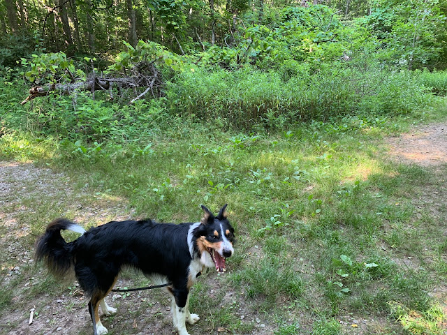
We started out on the Shope Creek trail, heading straight, beyond the gate. Krummholz is so happy to be back to hiking.
Heading gradually uphill on the Shope Creek trail.
We continued north of the Shope Creek trail, and crossed some small streams.
Where the trail splits (the point we turned around on our Shope Creek Trailhead Short Loop 1 hike), we continued north, following the trail on the left, to form a clockwise loop.
At the top of the loop, we headed east.
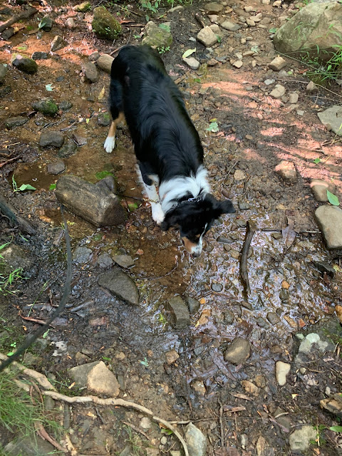
And checked out a small stream that crossed the trail.
And a dry streambed.
We came to a 4 way intersection and headed back south.
We crossed Shope Creek several times before finishing the loop.
Returning back on the Shope Creek trail, we encountered 2 bears walking on the trail towards us. All 4 of us stopped and looked at each other. They were a safe distance away. We waited. Eventually they moved off the trail. In all of our years of hiking, we've only seen a handful of bears. That's about to change real fast, lol. Yesterday we had 2 cross the road in front of our car, on the way to our grocery store.


No comments:
Post a Comment