| Date | Distance | Time | Elevation Gain | Average Moving Time | Year to Date Miles |
|---|---|---|---|---|---|
| 6/26/2021 | 7.2 miles | 2 hours 45 minutes | 242' | 2.6 mph | 129.1 |
Map: Gaia, National Geographic Pisgah Ranger District
Parking:
- 35.353557, -82.778686
- Pink Beds Picnic Area
- Very large parking area off of Route 276
CMC Pisgah 400 Challenge: Pink Beds Loop trail #118, Pink Beds Connector trail #118A
I had a short hike this morning, but I wanted to hike more! We got a late start and didn't start this hike until sometime after 5pm. We did our research though, and figured we could complete it by sunset. The drive to this hike from Asheville, is on the Blue Ridge Parkway. It is a gorgeous drive, where the speed limit is 35 to 45 mph. The parkway meanders through the mountains, and goes through them in tunnels built into the mountains.
This hike was labeled as easy, and it definitely was.
A map at the beginning of the trail. We did the loop clockwise, and included the spur trail out and back on the east side of the loop
This hike has a lot of stream crossings. On the Pink Beds Loop trail, there were bridges to cross over them. On the Pink Beds Connector trail, we had to wade across one stream. Krummholz wanted to get in the stream, every time the trail was next to it.
The trail has easy terrain.
And bridges for stream crossings.
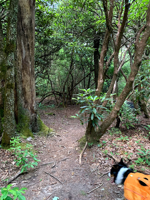
What the CMC calls the Pink Beds Connector trail was labeled Gauging Station Trail. This trail was more overgrown than the Pink Beds Loop trail.
Passing by the Barnett Branch trail, which crosses the Pink Beds Loop trail.
Walking along a boardwalk over a swampy area. Bug spray is recommended, especially for the Pink Beds Loop Connector trail.
After the hike, we stopped by several overlooks along the Blue Ridge Parkway on the way home. Gorgeous!


No comments:
Post a Comment