| Date |
Distance |
Time |
Elevation Gain |
Average Moving Time |
Year to Date Miles |
| 9/21/2023 |
4.8 miles |
2 hours 52 minutes |
1,166' |
1.7 mph |
192.9 |
Parking:
- Clingmans Dome Visitor Center
Map:
- Gaia GPS app
- National Geographic Great Smoky Mountains
Directions:- From parking lot, take Forney Ridge Trail to Andrews Bald. Return back to trailhead. Take paved trail to Clingman's Dome. Return to trailhead.
Carolina Mountain Club Challenges
- 100 Favorite Trails, Andrews Bald
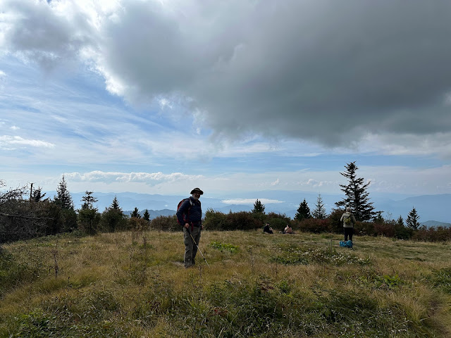
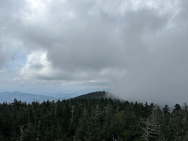
Today we hiked with Phyllis and Paul to Andrews Bald to complete one of the 100 Favorite Trails hikes. This was a short hike, but still tiring for me. The hike to Andrews Bald is downhill, which felt strange, but given how high Clingman's Dome is, I guess it makes sense. After visiting the bald and hiking back uphill to the parking lot, we took the paved trail up to Clingman's Dome. Lots of huffing and puffing, but we got views today. On the way home, we saw police cars and then traffic came to a stop. We saw 2 helicopters. I'm assuming there was some sort of rescue operation, for which they closed the road. We waited for around half an hour, and then saw one of the helicopters leave.
 |
| View from the parking lot |
 |
| View from the trailhead |
 |
| Trailhead |
 |
| Andrews Bald |
 |
| Heading up to Clingman's Dome |


No comments:
Post a Comment