| nce |
Time |
Elevation Gain |
Average Moving Time |
Year to Date Miles |
|---|
| 5/4/2022 |
6.1 miles |
4 hours 48 minutes |
2,342' |
1.9 mph |
312.3 |
Parking:
- Black Mountain Campground
Maps:
- National Geographic Linville Gorge, Mount Mitchell
Directions:
- Hike from Campground on Green Knob Trail to Green Knob fire tower. Return the same way.
Carolina Mountain Club Challenge:
- 100 Favorite Trails hike #89
We joined the Carolina Mountain Club for a 100 Favorite Trails hike. It was a winding drive but paved until the end. Our GPS didn't recognize the forest service road we drove on, so a paper map is useful for navigation.
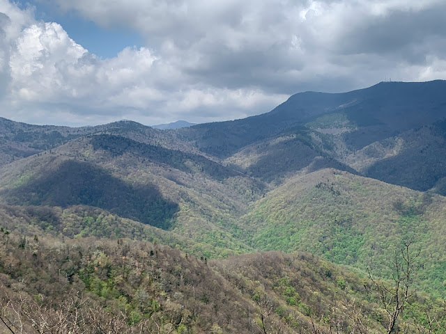
This was steep hike, with a lot of elevation gain in minimal miles. It was a good training hike. Pretty much 3 miles straight uphill. We happily stopped for lunch at the Green Knob Fire Tower. The tower cab is closed, but we could go up a few steps for a better view. Heading down was a bit hard on the knees, but I managed not to fall :) We got some great views going downhill from the tower. We drove home on the parkway, hoping for a bear sighting, but no luck.
 |
| The trailhead. This is not what the tread looked like on the hike! |
 |
| Bluets |
 |
| View from the fire tower |
 |
| Lunch under the tower |
 |
| Heading down |


Great pictures. Thanks for coming on the hike
ReplyDelete