| Date | Distance | Time | Elevation Gain | Average Moving Time | Year to Date Miles |
|---|---|---|---|---|---|
| 4/4/2021 | 7.3 miles | 4 hours 49 minutes | 1,073' | 1.9 mph | 72.7 |
Map: NYNJTC Harriman-Bear Mountain Northern - Trail Map 119
Parking: Silvermine Lake Picnic Area
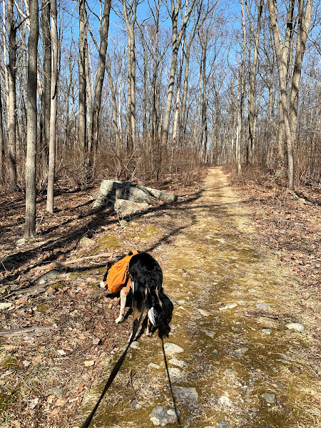
Directions: From the parking area, head right along a gravel road which is heavily used for picnicking. You'll see the yellow blazes for the Menomine trail. Follow the road which turns into a trail, paralleling Seven Lakes Drive. Pass a small cemetery. Cross Seven Lakes Drive. Pass by Lake Nawahunta on your left. Turn right onto the Long Path. Climb up to the Stockbridge shelter. Descend steeply down to Cave Shelter (rock formation). Continue along the Long Path. Pass the Nawahunta Fire Road (woods road). End at Route 6 crossing. Return the same way.
This weekend we are up to averaging two 8 mile days back to back. This was my hiking goal for the end of this month. My left knee has a bit of pain - I think from a fall I had 2 weeks ago. I hope I didn't re-injure it. But it's not enough to keep me from hiking. I'm gaining more confidence with my legs, though climbs are hard due to not having fitness yet.
There were tons of folks having picnics at Silvermine Lake. Parking at lakes always means crowds. We passed Lake Nawahunta, and decided we'd stop there on the way back to let Krummholz play. We hiked up to the Stockbridge shelter. I think I've done a variation of today's hike a few years ago, but the shelter didn't look familiar to me. I scoped out what the area looks like for tent sites. I didn't see any bear cables here, like I saw at the past 2 shelters we've hiked by. We continued on, deciding to stop at the shelter on the way back. Beyond the shelter, there is a steep rocky descent. I had a bit of PTSD then. So, I mostly sat down and scooted down the hill. I let Krummholz off leash for descents like this as well, in order to make them safer for me.
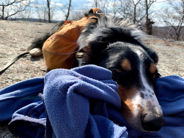
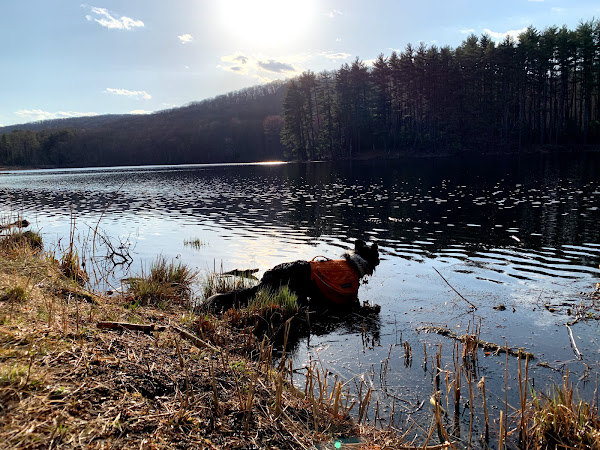
At the bottom of the descent the rocks form a sort of shelter. A fireplace has been built into one side of it. There's also a cave like hole. We continued on, and did see multiple groups of people which surprised me. I didn't think hiking in this area was as common. We passed the fire road and ended at Route 6. The trail actually crosses Route 6 and continues on the other side. But crossing Route 6 is not for the faint of heart, as cars go 60+ miles per hour on it. A good place to turn around. Back at the cave/shelter, climbing up those rocks is no problem. I'm only anxious about steep downhills. We continued back to the Stockbridge Shelter and took a break to heat up some soup for a meal. I took out my ink and watercolor, and got to work sketching the backside of the shelter. The shelter is built on a hill, so interestingly, the backside of the roof is almost at ground level. Behind the shelter, there is a massive rock slab, where people tend to hang out/take a nap. We had a relaxing break too. I worked on teaching Krummholz to chill while we took our break. I'd like him to be able to camp with me, so chilling around shelters is an important skill. We continued on back to Nawahunta Lake, where I attempted to throw sticks for Krummholz. He's extremely excited about lakes and sticks, but rarely swims. A number of people have suggested a life jacket to help him learn. I think I used to have one for dogs, I'm going to dig around to see if I still do.


No comments:
Post a Comment