
| Date | Distance | Time | Elevation Gain | Average Moving Time | Year to Date Miles |
|---|---|---|---|---|---|
| 10/11/2017 | 8.7 miles | 4 hours 44 minutes | 1,686' |
Map: Appalachian Trail Guide, New Hampshire-Vermont, plus map that comes with the book
Parking: Park one car at VT 140, park another car at USFS 10
Directions: Hike on the AT from USFS 10 north to VT 140.
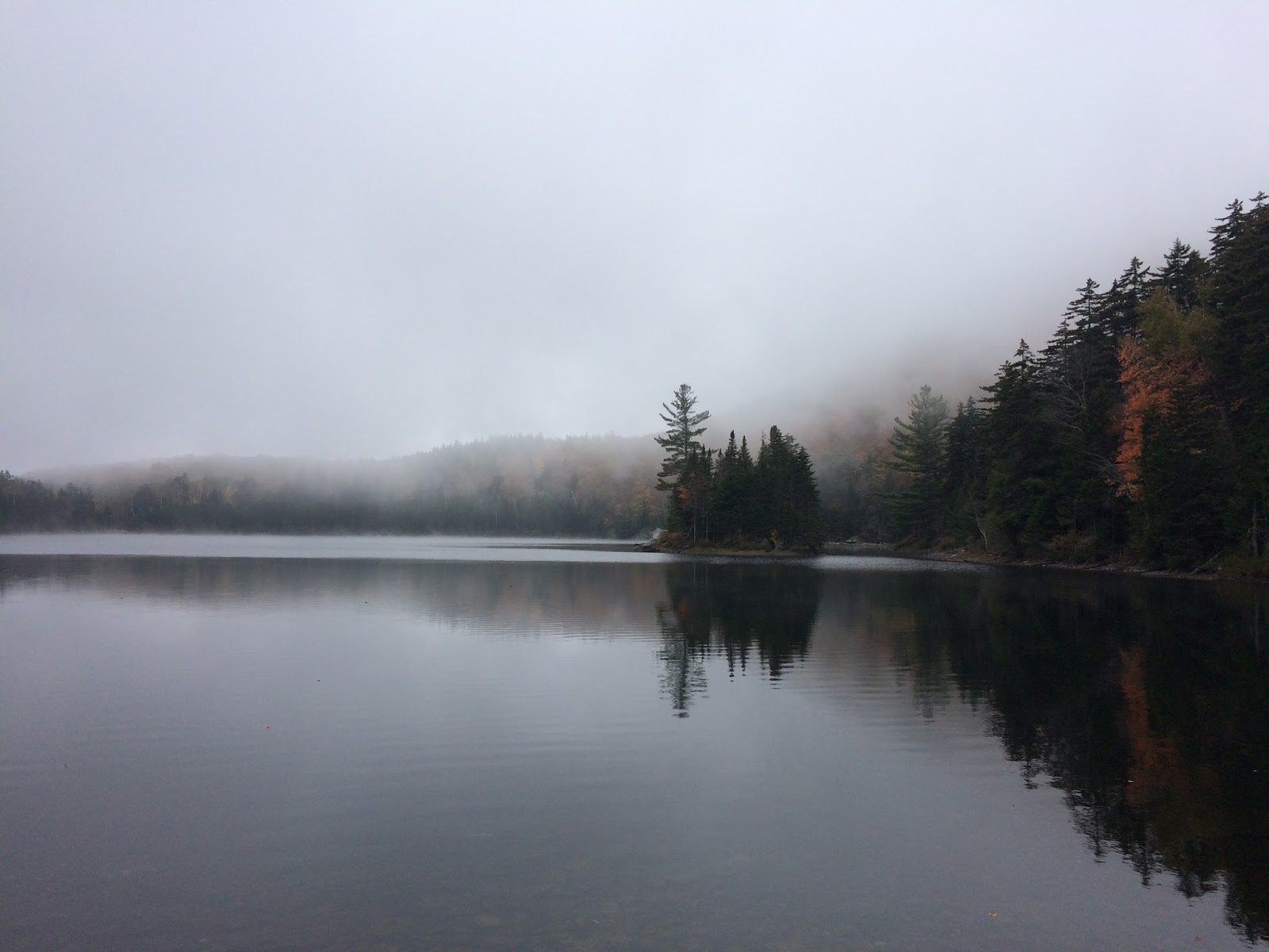
We got on the trail early today, at 9 am. Both parking areas were good. USFS 10 is a good paved road and has a large lot on it for hikers. The first 2.2 miles to Little Rock Pond were easy. Trek and Moxie would have absolutely loved to have stayed there. There is a shelter and tent sites right next to the lake. I could imagine hiking in, swimming, camping, swimming, camping, swimming, etc. The dogs would have loved it. The lake was pretty with fog rising above it.
We came across some hikers that we saw yesterday. Even though we are bouncing around this vacation based on our energy level, ease of parking, etc., we still are managing to see some backpackers multiple times which is fun. We came across a "garden" of cairns in the woods. I know its not very LNT, but it was fun. Glen "played" for a while. The area was stunningly beautiful. We came across mossy sections which were neon green. There were so many varieties of moss!
Continuing on, we skipped the white rocks overlook. It was still a bit foggy, and although the view was only .2 miles off trail, it was a 200' elevation gain/loss, so it was going to be a steep trip. Given Glen having some hip pain, we decided not to bother. At the end of the trail we visited a waterfall.
Loved, loved, loved this hike! Just a superb day. Beautiful trail. One of my favorite sections in Vermont so far.
 |
| USFS 10 parking lot |
 |
| Start of trail from USFS 10 |
 |
| Reaching Little Rock Pond |


 |
| A smaller collection of cairns further down the trail |

No comments:
Post a Comment