
| Date | Distance | Time | Elevation Gain | Average Moving Time | Year to Date Miles |
|---|---|---|---|---|---|
| 11/1/2015 | 9.2 miles | 4 hours 9 minutes | 1,641' | 662.6 |
Trail Map and Guide
Parking:
Parking:
Hike directions:
Facing lake, turn right onto gravel road (orange trail)
Roughly follow the lake, trying to stay on the orange trail.
When it intersects with the AT, turn right onto the AT.
Hike over Rattlesnake, Bird, and Blue Mountains.
Turn around at Blue Mountain and retrace steps.
Hike description:
We've hiked in this area before, and have found finding trailheads difficult. Our car GPS doesn't have many of the roads on it, and also tries to take us down roads which are impassible. We relied on our NYNJTC conference map, which worked well. Also, there were signs for Crater Lake. The parking lot is at the end of a long gravel road. The road had deep potholes, and so you have to take it slowly. My 2012 NYNJTC conference map showed a road closure (due to Irene), but the roads to the trailhead are now all open.
The parking area is at Crater Lake Trailhead, with the lake straight in front of you. We decided to leave dog swimming to the end of the hike, much to Trek's disappointment. Facing the lake, we new we wanted to turn right onto the orange blazed trail. We had difficulty finding which trail to take. It is the wide woods road/gravel road, not the smaller trail close to the lake (which faded into nothing). The orange trail is not very well blazed, so we just tried to stay roughly following the lake. We got confused at one point where the trail split (large log straight ahead). We turned right here and hit the AT.
We turned right onto the AT. The beginning of the trail is level and had easy footing. Eventually the footing got rockier, but the hills were never steep. This hike climbs over Rattlesnake, Bird, and Blue Mountains. None of them are difficult. Mini-mountains. Rattlesnake Mountain and Blue Mountain have nice wide open views. Probably my favorite place on the NJ AT so far.
We've done this hike on a windy, rainy day, and I have to say this hike is much better saved for a sunny, dry day. Some of the rock slabs are sideways, and they are just more fun to negotiate when the rocks are dry. Also, the hike is on a ridge, so on a rainy, windy day, it is easy to get chilled. We had beautiful weather today - such a nice day for this hike.
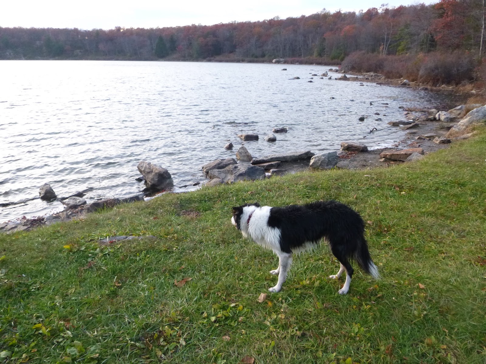
We finished the hike with enough time to take Trek swimming. Crater Lake has a nice beach area, and a rock wall that is perfect for sitting on. The sun was setting as we threw sticks for Trek. It was a blissful moment.

 |
| Map with details on how to get to the AT from the Crater Lake trailhead |
 |
| Easy hiking for the first mile |

 |
| This is another possible approach to the AT - we started from this trail on another trip |
 |
| Didn't see any blazes, but the trail makes a sharp right here at which point it intersects with the AT |


 |
| Rattlesnake Mountain |
 |
| Rattlesnake Mountain |

 |
| Blue Mountain summit |
 |
| Blue Mountain summit |
 |
| Blue Mountain summit |
 |
| Crater Lake sunset |


 |
 |
| Why do we have to stop? |
No comments:
Post a Comment