| Date | Distance | Time | Elevation Gain | Average Moving Time | Year to Date Miles |
|---|---|---|---|---|---|
| 11/7/2015 | 8.6 miles | 4 hours 29 minutes | 1,104' | ? mph | 671.2 |
Trail Map
Parking: Route 106, see directions.
Parking: Route 106, see directions.
Hike directions: Iron Mines Loop #2
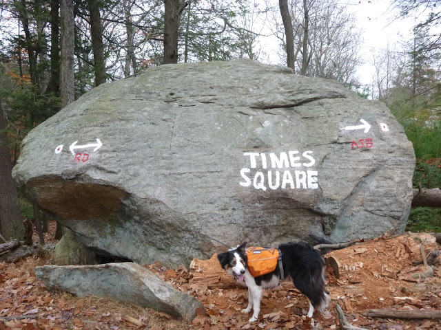
We needed a local hike today, so we spent the afternoon in Harriman. The parking lot was overflowing. Tons of people out in Harriman this weekend. We found ourselves in hiking traffic jams at times.
This is a nice hike which passes by several iron mines. It also took us on a couple of trails we haven't been on before. The most interesting was the bottle cap trail. Yes, the trail markers were actually bottle caps nailed to trees. Mostly beer bottle caps - and whomever marked the trail has very good taste in beer! Even though the "blazes" were entertaining, I have to say that they were very hard to see. We actually relied on Trek to find the trail for us. Everything is covered in a deep layer of leaves, and the trail is not distinct at all. If we hadn't been hiking with Trek, we would have spent a lot more time navigating than we did. Trek did an amazing job as always - his navigation skills are brilliant.
We did want to add a short detour to Stahahe High Peak, but we never saw the trail (off of Island Pond Road). Normally Trek points out side trails to us, but I never noticed him pointing out a trail to the right.


No comments:
Post a Comment