| Date |
Distance |
Time |
Elevation Gain |
Average Moving Time |
Year to Date Miles |
| 9/19/2015 |
11.5 miles |
8 hours 42 minutes |
2,242' |
|
626.2 |
We put this hike off for a long time, since it seemed like this one would be very challenging for us. We are getting stronger now, so finally decided to do it. We read that the hike takes 8-10 hours, so we got up early to make we'd have enough time. We got started at around 9:30 am, figuring that would give us 9 1/2 hours until sunset. We also knew that if we took longer than that, we'd at least be on a trail at the end & we always carry headlamps with us. I just didn't want to be bushwhacking in the dark!
The hike starts out on a trail, and then goes onto an un-maintained, non-blazed trail called the Fisherman's Path.The Fisherman's Path sometimes is strong, sometimes faint. There are a lot of trees down across it. We didn't have too much trouble following it. Eventually you leave the Fisherman's Path to start the bushwhack up to Lone. I didn't find the bushwhack up to Lone too bad. Navigation was pretty straightforward and the bushwhacking wasn't too bad. There was a band of ledges around 1/3 of the way up which were easy to go around. After that I told Trek to find us a herd path, and he did :) Once on the herd path we just kept following it up, periodically checking our compass to make sure we weren't going in the wrong direction. At the top it was confusing a bit as we ran into multiple herd paths. We did find the canister though, where we met another couple who were doing just Lone. Normally we don't see anyone on bushwhacks, but today we did. The man warned us about the difficulty of getting to Rocky due to the density of conifers.
We started down Lone on a herd path, ignoring the compass bearings we had already calculated. Hmm. The issue with that is eventually we lost the herd path. So, navigation became more challenging. We had to use our GPS, not just our compass after that. We couldn't see Rocky either. All we saw was trees. At some point we entered the thick conifer. Ugh. That was challenging. The trees are super close together and you wonder how on earth you are going to get through them. I made the mistake of not protecting my eyes, and got whacked in my eye by tree branches. This hurt like hell. After that I put on sunglasses to protect my eyes. And then magically at some point the forest opens up - so happy to be out of that! Eventually we found a herd path towards Rocky and Trek led us to the canister. We had read that some people go back down to the col between Rocky & Lone and then follow a stream down to the Neversink River. We had no desire to enter the thick conifer, so we used our own bearing to go down Rocky. I was thinking we'd descend between the two streams that hit Neversink, but we managed to hit one of the two streams. We tried to hike on an embankment above the stream, because the rocks next to the stream were very slippery. Once we hit the Fisherman's Path knew the rest would be easy. At that point we just needed to concentrate on staying on the path. We did have a number of stream crossings, but water levels were low enough that we were able to rock hop across them. I had brought Crocs just in case I needed to do any wading, but never used them. Based on what I read, sometimes the crossings can be very difficult.
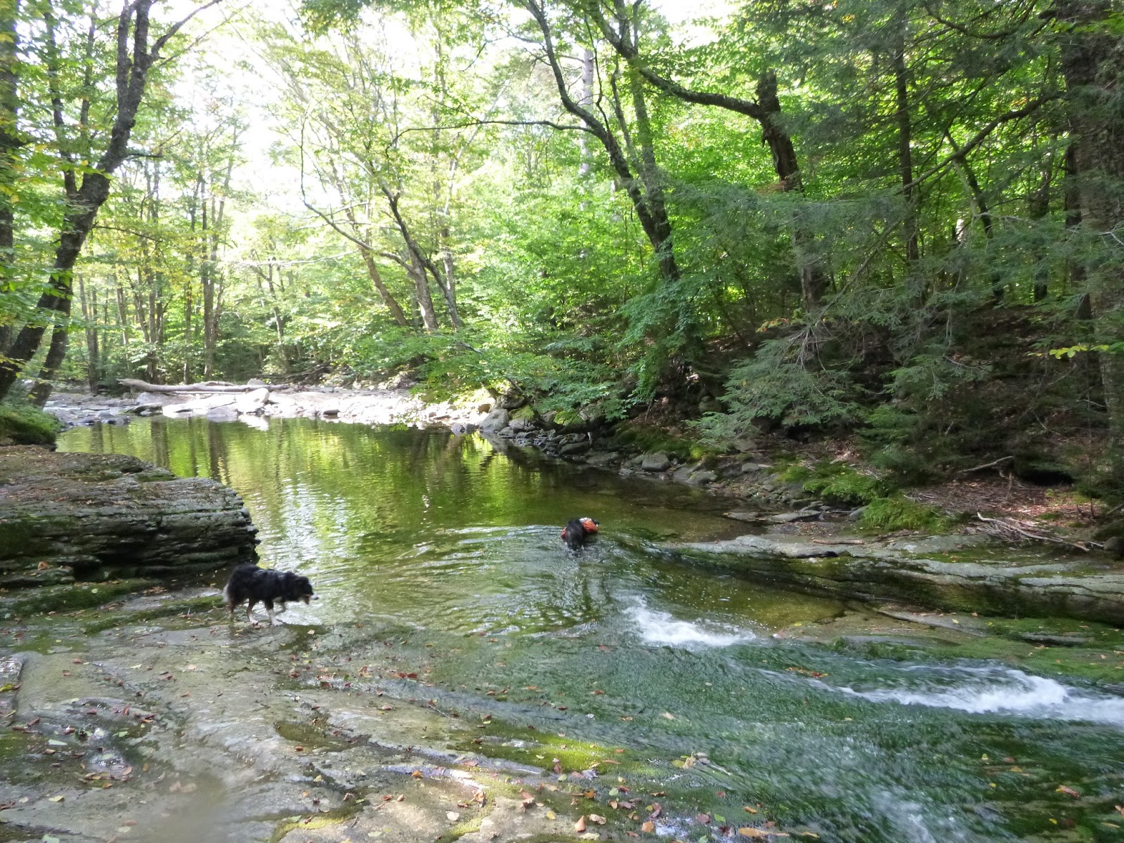
The dogs liked all of the swimming/wading on this hike. There was plenty of water for them at the beginning & end of the hike. We took Moxie too - as we were hoping she can become a 3500 footer member too :) She did well, not having problems with her legs until near the end of the hike - where I started having to help her get over logs. Tomorrow she gets a relaxing recovery day.
 |
| Trailhead |
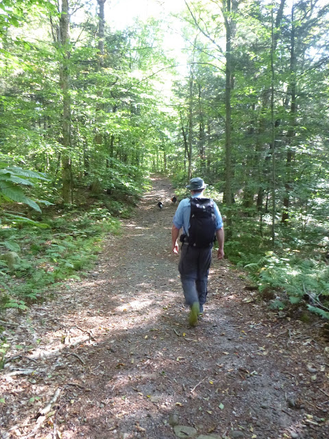 |
| Starting out on a nice easy woods road |
 |
| Turning onto the Finger Lakes Trail |
 |
| Glen hates this bridge. Moxie had no problem with it. Trek had no problem one way, but got nervous going the other way where 3/4 of the way through the logs separated a bit. |
 |
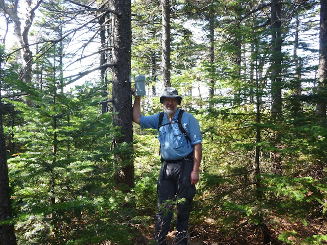
| Lone summit. Oops. Got the date wrong. Should be 9/19. |
 |
| Lone summit! |
 |
| Lone summit! |
 |
| View just a short distance from the Lone summit. Not much color on the trees yet. |
 |
| Looking back at what we had to bushwhack through between Lone and Rocky. Ugh. |
 |
| Rocky summit! |
 |
| Rocky summit! |
 |
| Swimming in the Neversink |


No comments:
Post a Comment