
Distance: 2.5 miles
Time: 1 hour 35 minutes
Year to date miles: 188.1
Driving directions: From Stykkisholmur, take route 58 south. Turn right on 54 west. Pass through the town of Grundarfjordur. 54 turns into 575. 575 turns into 574. Pass the town of Olfsvik. 574 turns into 573. Pass the towns of Rif and Hellisandur. Turn right (towards ocean) at sign for Lóndrangar.
Map: Mal og menning, Map 10, Snaefellsnes (purchased from Omni Maps), also Trails in Snaefellsjokull
Parking: N64 43.821 W23 48.218
More info: Snaefellsjokull National Park
Restrooms: None
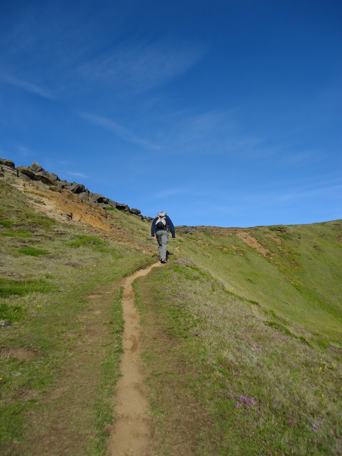
Hike directions: From parking area, face ocean and turn left heading towards Londrangar (volcanic plugs). Continue past them to cliffs (near another parking area). Out and back. Note if you go straight out to the ocean there is a lighthouse. Easy to follow trails.
Lodging after: Hotel Egilsen, Stykkisholmur
This was an unplanned hike. We just went to see the volcanic plugs when we noticed them driving by. We noticed the sign for the hiking trail, and decided to take another hike.
 |
| Sign off the main road |
 |
| There was a trail straight out to the lighthouse, also these signs for trails to the left. |
 |
| View of the lighthouse |
 |
| Interesting enough - there was driftwood, looking like telephone poles. Wood here seems so uncommon. |
 |
| View of glacier - I believe a smaller peak of Snaefellsjokul |
 |
| Lóndrangar |


 |
| Cliffs |


 |
| A common scene in Iceland. Steep mountains with waterfalls. |
 |
| A small house at the foot of the mountain. This is common too. Large fields below the mountains are used for grazing sheep, and usually there is a farmhouse below the mountains too. |
More beautiful photos. Love love love them.
ReplyDelete