
Distance: 5 miles
Time: ?
Year to date miles: 215.5
Driving directions: Route 1, west of Vik. You can see the waterfall from the ring road.
Map: driving map of Iceland. No hiking map needed.
Parking: Large parking area, right off of Route 1
More info: Skogafoss
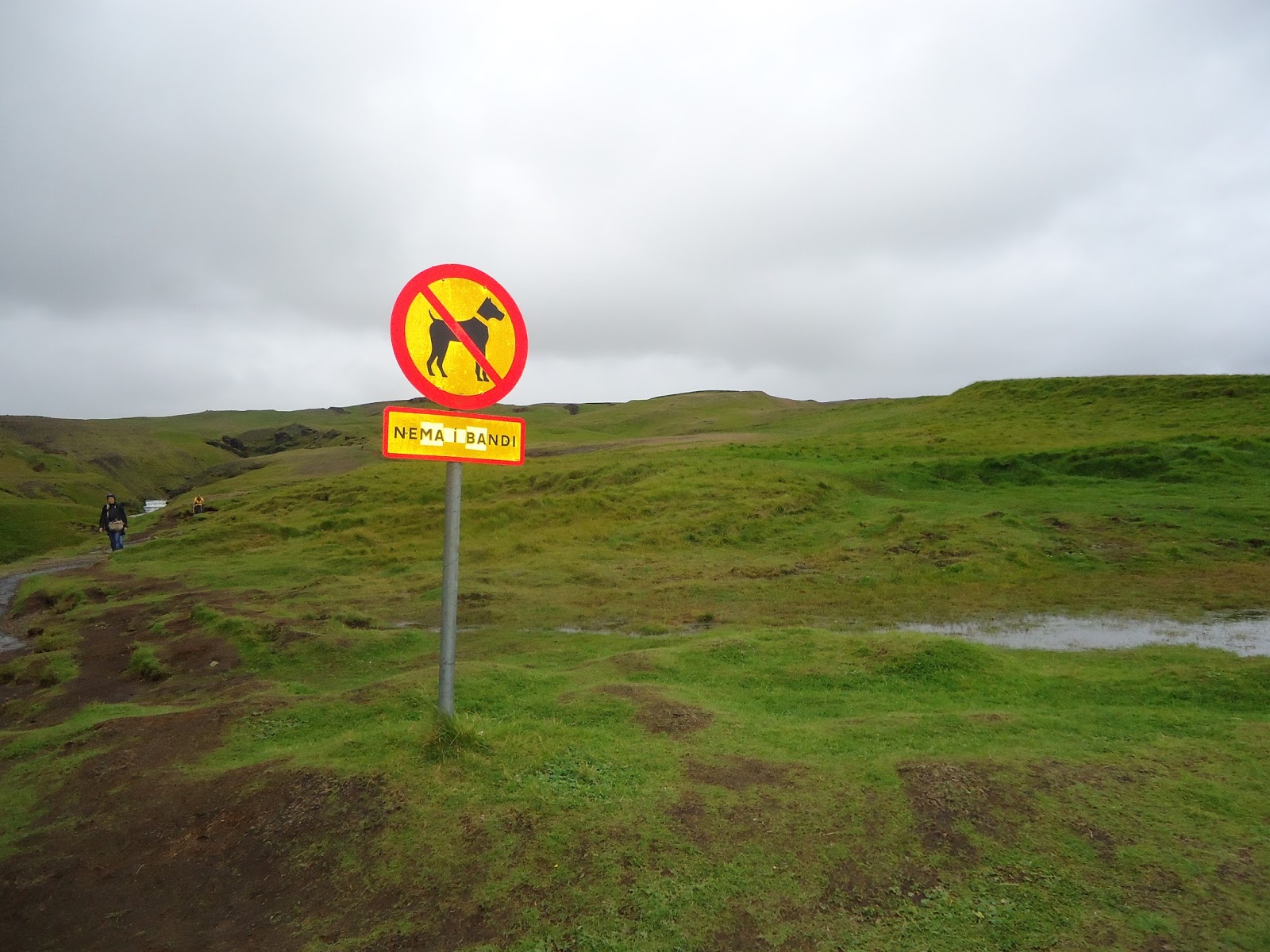
Restrooms: They had a couple of tiny ones. Trail was difficult, but possible to use. No shrubs, just had to try to find a hill to go around.
Driving directions: Continue from Seljalandsfoss, heading towards Vik. You can see the waterfall from the ring road. Can't miss it.
Parking: Plenty of parking off of the ring road.
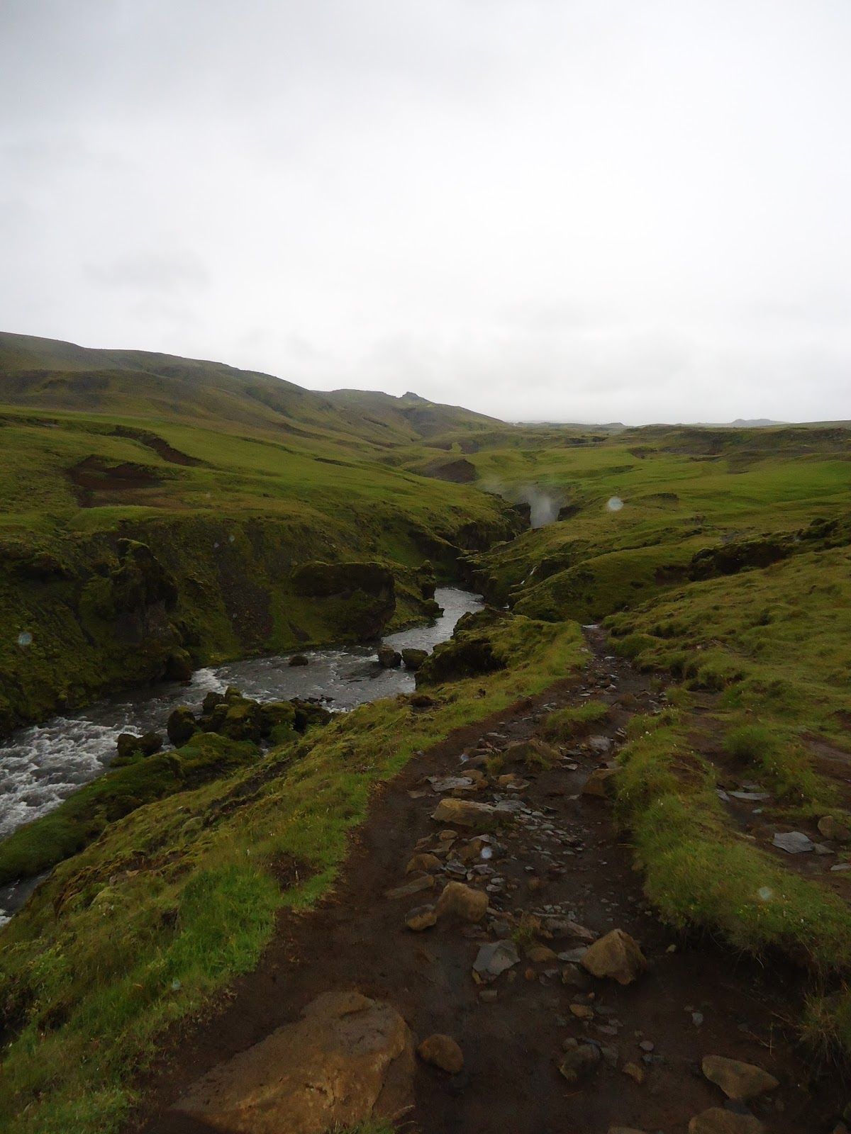
Hike directions: This is a walk, followed by a hike. This is a famous waterfall, which apparently doesn't have a pool beneath it. It is wide and tall. After visiting the bottom of the waterfall, to the right of the waterfall is a set of steps (428 - I counted), to climb to the top for a different view.
Beyond that, you can cross over a stile, and keep hiking, following a trail that parallels the river. We just stayed on the trail that is next to the river, no real danger of getting lost.
 |
| Site of the 2010 eruption which disrupted air travel between North America and Europe. |
 |
| The volcano is hidden by clouds. |
 |
| Love this! Shed in lava. |

 |
| At Skogafoss, we set up our stove next to the river to have lunch before our hike. We were watched.... |


 |
| Heading to the falls |


 |
| The steps to the top of the falls. Good workout! |


 |
| View from the top |
 |
| Passing a stile at the top, the start of the trail |
 |
| After which we saw waterfall after waterfall... |


 |
| A common, bizarre landscape in Iceland - moss covered lava field |
No comments:
Post a Comment