
Distance: 6.2
Time: 4 hours 11 minutes
Year to date miles: 221.7
Driving directions: Route 1, east of Vik.
Map: We were planning on doing a hike from the Cicerone Iceland book, but ended up using a free map brochure from the park. The map had suggested hikes with distances.
Parking: Large parking area, take 998 off of of Route 1. There are signs on Route 1.
More info:Skaftafell
Restrooms: Yes!
Driving directions: East of Vik, visitor center off of the ring road
Parking: Plenty of parking in the park.
Hike directions: We followed what was called the S6 Route in the brochure, and then added on to it.
S6 is described as Svartifoss/Sjonarnipa, 7.4 km route. The trail intersections on the hikes were well marked, so it was easy to use the park map.
 |
| Site of the Vatnajökull glacier - which covers 8% of Iceland. We saw just a tiny bit of it. |
 |
| Edge of the glacier, next to a lava field |

 |
| Destroyed remains of a bridge. What we learned is that global warming causes glaciers to melt. Glaciers exert a lot of pressure on the volcanos they cover. Glacier melting can cause extreme eruptions. Eruptions melt the glaciers and then incredible floods occur, which wipe out the ring road (the main route around Iceland). |

 |
| Svatifoss is one of the main tourist sites at Skaftafell. It is a short hike. We did a longer hike, which passed by it though. |
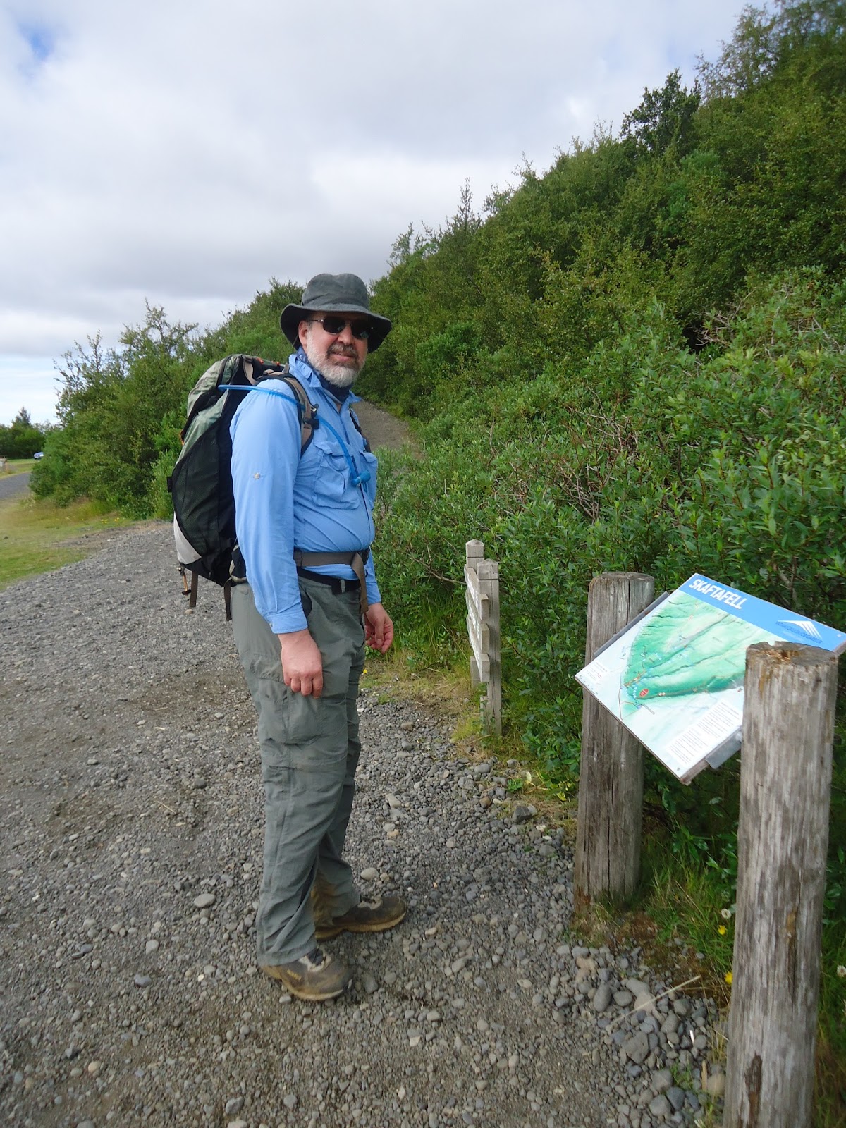 |
| Trailhead, near the camping area |
 |
| For some reason - we ended up hiking the opposite way of everyone else... |
 |
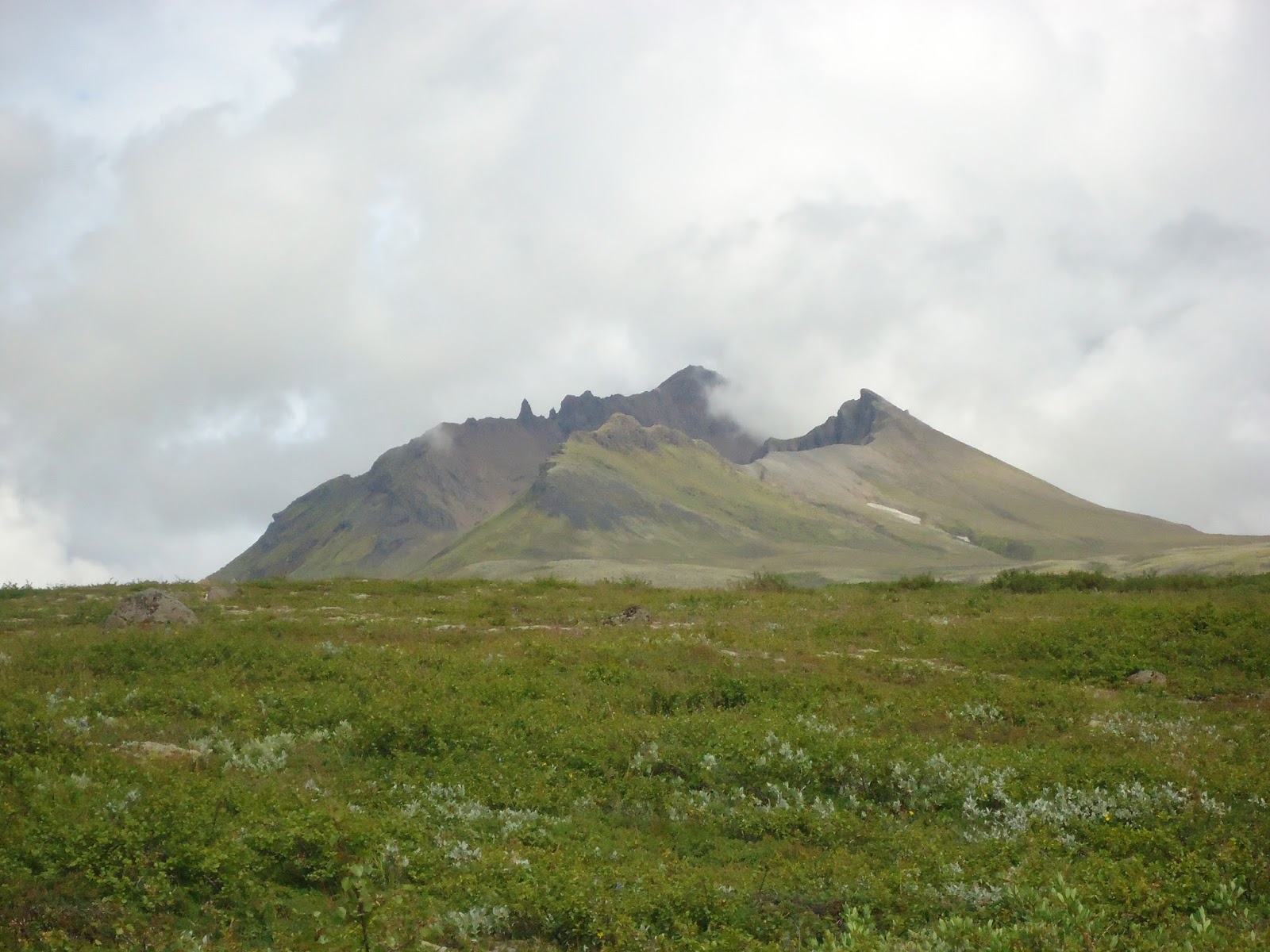
| Heading to the glacier |
 |
| I'm thinking a little vertigo going on here. |
 |
| I see glacier! |


 |
| Glacier! Black near the edges due to lava sand |


 |
| The basalt columns of Svartifoss - it reminds me of a church organ. |

 |
| We spent some time looking at column debris along the trail - usually they are 5 sided. |
 |
| Trails are really well marked in this park! |

 |
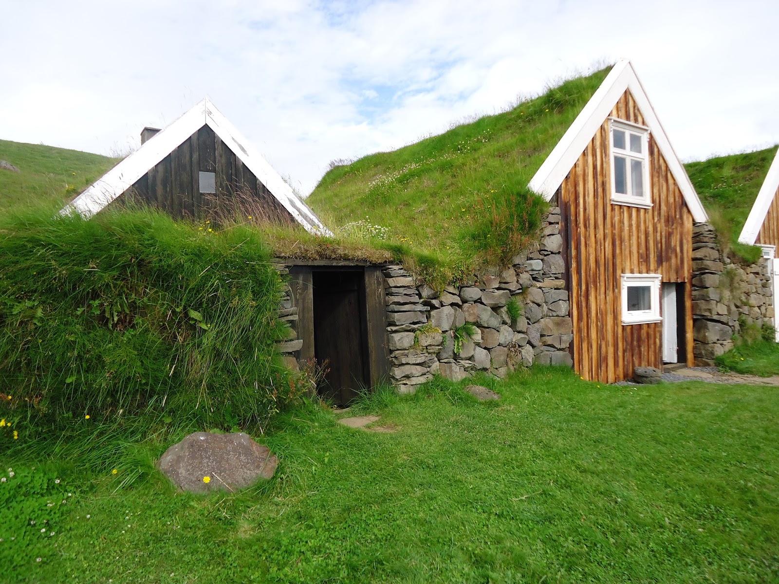
| We didn't know what Sel was, but we decided to visit |
 |
| Sel was a collection of old turf roofed farm buildings. Lava sand in the background. The area approaching Skaftafell has enormous amounts of sand, and sand storms occur here |


 |
| This site has some of the tallest trees in Iceland! We walked through a mini-forest. Made us feel like we were back home. Trees! |
 |
| An unusual site in Iceland! Looks normal to me! |
 |
| We found fruits/vegetables most places. But very limited amounts. Canned strawberries were relatively common. Fresh strawberries - didn't see any. Many small stores in the country - produce aisle was 6' long. |
 |
| Cooking. |
 |
| Just a small roadside stop near Kirjubaejarklaustur, near the town we were staying in. We didn't do any hiking in Kirjubaejarklaustur, but the town has a number of short trails. We wished we were in the area longer. |
 |
| Moss covered lava field |
 |
| Blurry moss |


Thanks for the photos of the signage at the bridge ruin monument and at Sel, neither of which I got to while in Iceland earlier this month—though I hike do a couple of the trails in Skaftafell. (The two that go farthest north were closed due to "thawing and dangerous conditions.") I saw the bridge ruin from Ring Road and assumed it wasn't modern sculpture ;) but I wasn't 100% sure.
ReplyDelete