
Distance: 3.3 miles
Time: 1 hour 55 minutes
Year to date miles: 153.5
Map: South Taconic Trails and map in AMC's Best Day Hikes in Connecticut (hike #3)
Parking: Bunker Hill Road, Salisbury, CT. Hiker parking sign on right side of road right before it ends at a private drive. Room for around 7 cars.
Post hike dinner: Baba Louies Pizza, Great Barrington, MA
Restrooms: None
Directions: See book. Book description is 1.9 miles. The weather was better than expected so we extended the hike described in the book. We still had time left, so we stopped by Bish Bash Falls before heading home.
- From the parking area, follow blue blazed Lion's Head Trail
- At intersection with AT, keep straight (hike is blazed with blue blazes and white AT blazes).
- At intersection with bypass trail, turn right and climb up rocks to Lion's Head.
- Sign at summit.
- Continue along trail.
- At intersection of blue bypass trail on the left (where the book has you turn) and the AT straight ahead, we continued along the AT (unlike book description).
- We hiked along the AT until we reached the blue blazed Bald Peak Trail (we assume) on the left.
- We had been hoping to hike to Bald Peak (also called Mount Riga) as well, but the trail was overgrown, and there were private property signs on top of the blazes, so we turned around. I'd read about this before - there is a lot of confusion on whether there is access.
 |
| Sign for hiker parking |
 |
| Parking area. |
 |
| Kiosk at trailhead |
 |
| Lions Head |
 |
| Hiking up the boulders. |
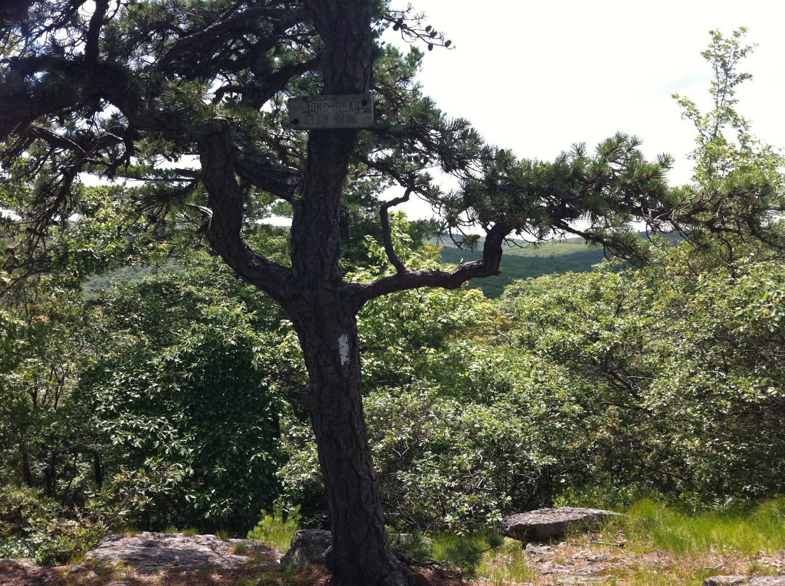 |
| Sign for Lion's Head summit |


 |
| The birds we shared the view with |
 |
| View past Lion's Head on the AT. |
No comments:
Post a Comment