Distance: 3.8 miles
Time: 1 hours ? minutes
Year to date miles: 89.6
Map: Ward Pound Ridge Pick up a map when you pay for parking.
Parking: Enter park, pay for parking and keep driving straight until you reach the Kimberly Bridge parking area. There is plenty of parking. Cost is $10 without a Westchester County Parks Pass. $5 with a Parks Pass. There was no parking attendant when we arrived in the evening, so it was free.
Post hike dinner: none
Restrooms: Porta-potties in the parking lot
Directions:
Cross the street, and take the blue trail uphill. Just keep following the blue blazes in a counter clockwise loop.
Notes: This is a very popular park. This hike was moderate. This trails are very clearly blazed. The map also has numbers at intersections which correspond to numbers posted on trees. On some trails, you will come across a lot of people. We didn't see anyone on the trails - this was a weekday evening.
There are no road crossings (other than at the trailhead). The trail starts out with a steadily uphill. No chance to warm up your muscles. This hike is a combination of hills & level areas. The portion of the hike that is on the outer edge of the park does have views of the backyards of some houses, but they aren't very close. Although there are no hill/mountain views, this is a pretty hike. The trails vary between dirt, rocks, and grass.
 |
| Parking area |
 |
| Trailhead heading up |
 |
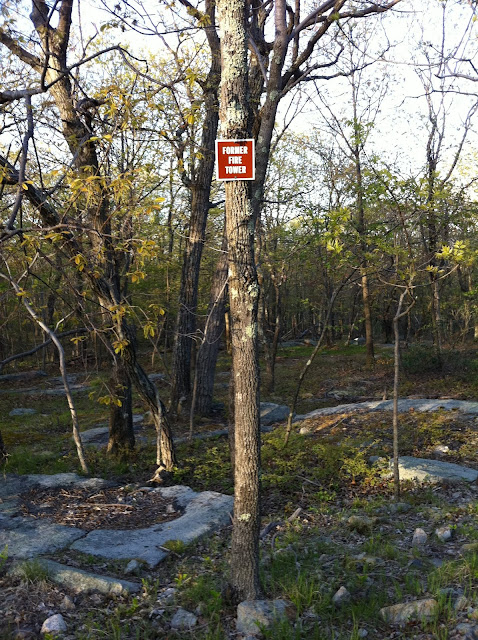
| Highest point in the park is the site of a former fire towe |
 |
| Water pump |


No comments:
Post a Comment