Distance: 4.1 miles
Time: ?
Year to date miles: 85.8
Map: Point Mountain Reservation Map
Parking: See directions. Turn on to gravel driveway off of Penwell Road. It looks like a house driveway.
Restrooms: None
Post hike dinner: Veggie Heaven (Asian vegetarian)
Directions: Point Mountain Loop from Penwell Road
Notes: The trail starts out next to farming fields. The fields were being tilled while we walked by. The trail reaches the Musconetcong River, and follows it for a long way. There were many trout fishers in the river. We stopped twice to let the dogs swim. The river is very shallow. The dogs failed to catch any trout :( There are two road crossings. The trail between the road crossings is very overgrown - with prickers. It might almost be worthwhile to skip this section and do a short road walk. After the second street crossing, you make a steep rocky ascent to the mountain. There was broken glass around the summit, and quite a large crowd enjoying the view. We left quickly, and continued along the ridge. Once we left the summit, we only saw one other person. Most people must take the short rocky trail up & down the summit. The way we went down was more gradual, and less rocky. There was quite a lot of poison ivy along the trail. Longs pants - a must.
 |
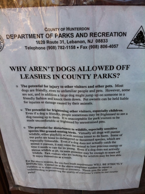
| Sign in the parking area. |
 |
| The beginning of the hike - following the orange trail along the farm fields. |
 |
| Trek's favorite part of the hike. We found a spot away from the trout fishers and let the dogs swim. |
 |
| This is the overgrown trail section. |
 |
| Parking area next to second street crossing. The trail continues at the right side of the parking area. |
 |
| The ascent to the mountain is up boulders for most of the way. |
 |
| Point Mountain summit view. |


No comments:
Post a Comment