April 27, 2013
Distance: 5 miles
Time: 4 hour 30 minutes
Year to date miles: 68.5
Map:
AMC's Best Day Hikes in the Berkshires The book has a map, but it is a very simple map. We also had a trail map from the AMC that covers this area.
Parking: Williamstown, MA. Room for 4 cars on the left side of Berlin Mountain Road. This is a gravel road. If there isn't room, you could continue 0.4 miles to the end of the road (which you pass on this hike anyways) and start the hike there.
Post hike dinner: Naji's, Great Barrington, MA
Restrooms: none
Directions: See book. The hike description in the book is very useful. I've seen people post about getting lost/confused by the trails. We took out the book a couple of times, and also used our GPS.
Notes: This hike is tough. The trail up is steep. The book refers to 1 mile being steep. They weren't kidding. We took the steep route up, and a more gradual trail down. ATV's use the trail down (there are signs all over saying they aren't allowed), but we met 3 ATV's when hiking down. Did I mention the trail is steep going up? It was exhausting. We stopped to catch our breath a lot. It was uncomfortable just standing because it was so steep. Did I mention it was steep?
Trekking poles are recommended - there are a couple of stream crossings where they would have been helpful. We didn't come across any other hikers, though there was another car in the parking area. This hike doesn't have any road crossings except for the same road you park on.
 |
| Sign at the parking area. This hike didn't actually start here. We walked 300 feet back down the road to the start. |
 |
| Sign on the road. Get on the trail here. |
 |
| Sign for the beginning of the trail. |
 |
| The dogs are so happy - this hike has streams. There were a few. However, we were glad that we carried water for the dogs - they needed it when we were on the steep ascent. |
 |
| I managed to cross the stream on these. They wouldn't have supported Glen though. |
 |
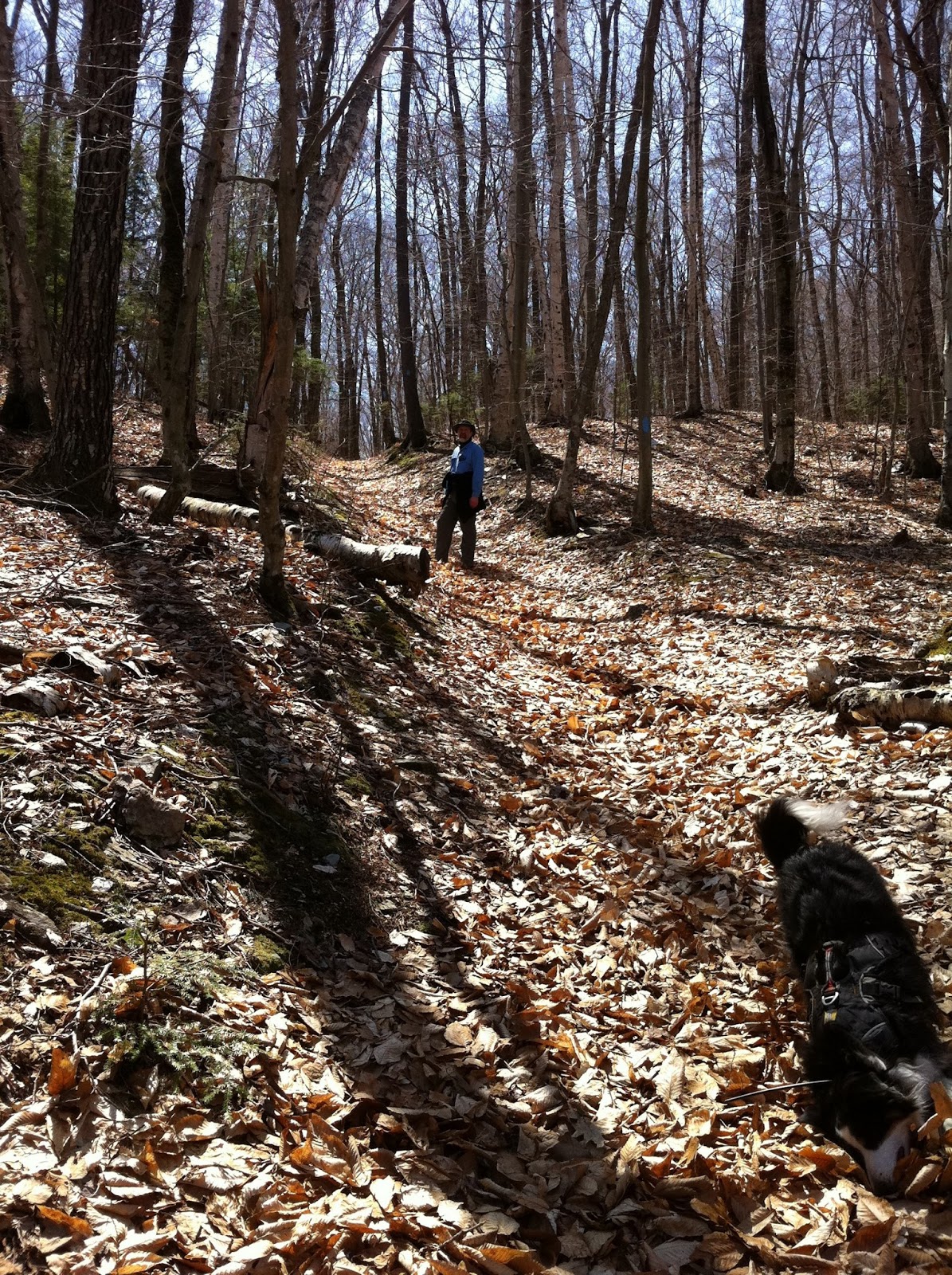
| Going uphill in the leaves. Slow and tiring. But this wasn't the steep mile. This was easy ;) |
 |
| Hairpin turn |
 |
| And another stream crossing. |
 |
| Steady uphill. |
 |
I think this is part of the steep part. But not the steepest. I was too exhausted to take photos on the climb.
It felt on the incline that we were going up 40 degrees. |
 |
Getting close to the summit, the grade eases up. We were so happy to see the summit.
It's almost all downhill from the summit! |
 |
| The summit is a large grass/moss expanse that is clear. There are views almost all of the way around, though trees block some of the views. In spots there was some broken glass at the summit - my guess is from the ATV users. I sat down and worked on picking some of it up. |
 |
| Mount Greylock is visible from the summit, but I forgot to figure out which mountain it is. This area has several wind farms. Some of the mountains had strings of windmills on top. Not terribly pretty, but we do support wind energy. |
 |
| We weren't sure which was the correct route down. This one is. It is NW, and has blue plastic discs marking. We didn't see the white/blue blazes until quite a ways down. |
 |
| It felt good to put my feet up. |
 |
| Please play ball with us! |
 |
| There must be a ball somewhere. |
 |
| Glen filling up on water. |
 |
| The trail down - covered in ATV tracks. Kind of a rocky trail. This was when we were exploring the routes down to figure out where we should go. |
 |
| Back at the summit. Moxie feigning exhaustion. |
 |
| I sat down, so Trek came to hang out next to me and keep an eye out for me. |
 |
| The trail down. At the summit we were looking for the white diamond on blue square blazes, but we didn't find them until we were quite a ways down. |
 |
| At the intersection of the Berlin Pass Trail. Glen taking a rest (even though downhill isn't bad). |
 |
| The trail crosses the road. This is the same gravel road that the parking lot is on. This is the end of the road, and you could park here. Turn right to the end of the road, and then at the end take a grassy trail to the left. |
 |
We almost missed this. This is right before another tricky stream crossing. I ended up slipping into the stream.
No trekking poles. Oops. |
 |
| Taking a detour to see the watefall |
 |
| Waterfall from a wooden viewing area. |


No comments:
Post a Comment