April 6, 2012
Distance: 7.8 miles
Time: 5 hours 56 minutes
Map:
Catskill Trails Map Set
Parking: See directions link
Restrooms: None
Notes: Catskill 3500 footer
Post hike dinner: Garden Cafe on the Green, Woodstock
Directions:
Vly and Bearpen
 |
| Parking across from the snow plow turnaround. |
 |
| Continuing 1 mile along Route 3 - which is basically an unpaved, unmaintained rocky woods road. |
 |
| Approaching the hunters cabin. Ironically there are no hunting signs posted on it. Right to Vly, left to Bearpen. |
 |
The herd path to Vly is pretty easy to follow - just look for blue (and sometimes yellow) blazes.
They take you all the way to the summit. There is some whacking, but the navigation isn't difficult. |
 |
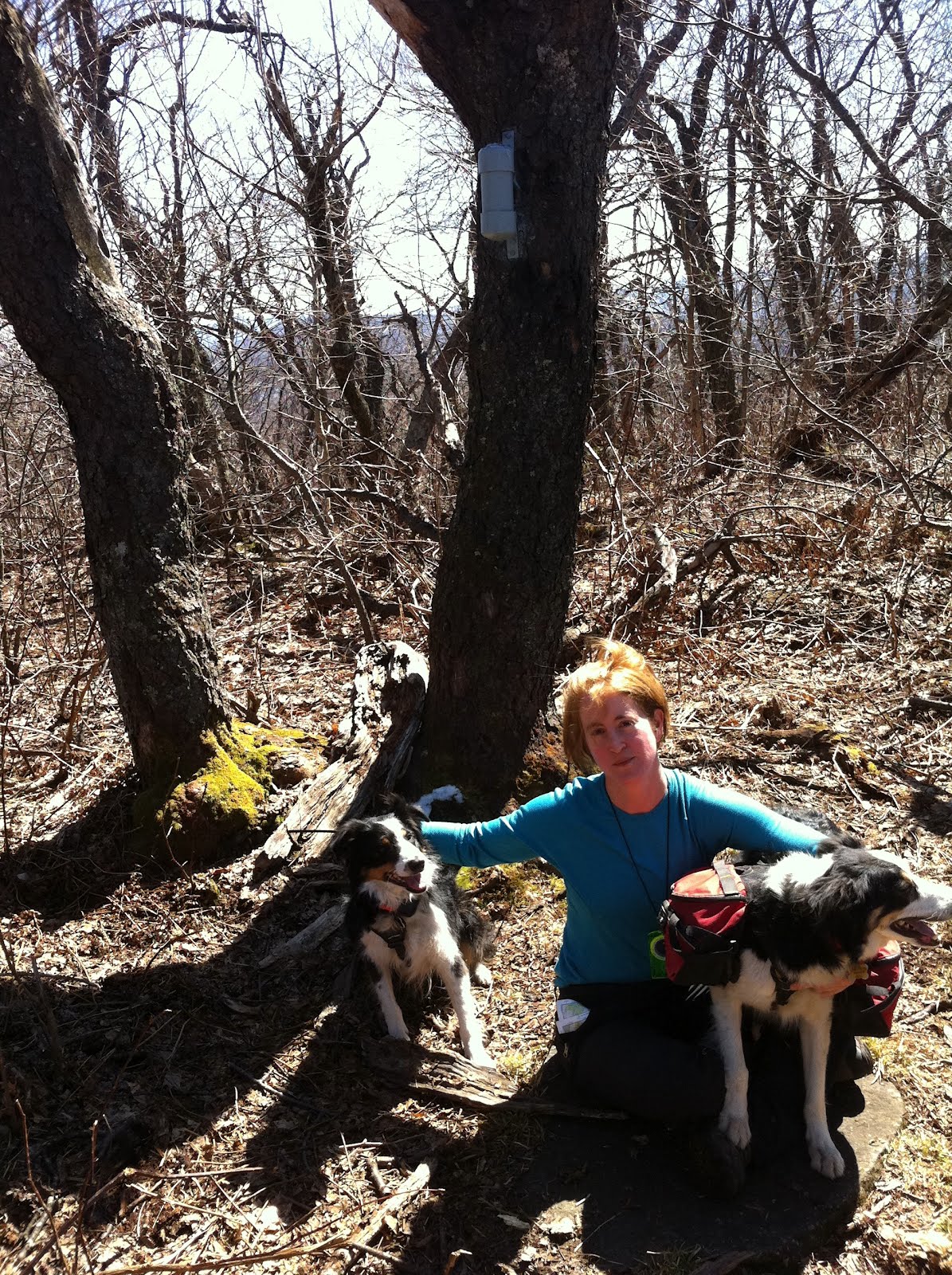
| Glen opens the canister at the summit of Vly. |
 |
| Moxie, Lynn, Trek - Vly summit |
 |
| Trek, views in the background |
 |
| Heading back down Vry |
 |
Heading towards Bearpen. You can reach the summit taking snowmobile paths the entire way.
The problem is figuring out which ones to take. |
 |
This was NOT the planned route. We got lost on the way up. Followed the wrong trail quite early on.
But I found this snowmobile path name amusing :) |
 |
| The remains of a really old car |
 |
| Trek and Glen, view near Bearpen summit |
 |
| Remains of another old car. |
 |
Heading back down - hey...I think we were supposed to look out for this sign on the way up.
But, we took a wrong turn way before it. |
 |
Heading back down.
Year to date miles: 105.9
|


Hey, just for your info, those aren't just old cars. They are trucks that were rejiggered to run the tow ropes when Bearpen was a ski hill back in the 50s. If you look you can see a wheel mounted off the ground, which acted as a pulley.
ReplyDelete