
| Date | Distance | Time | Elevation Gain | Average Moving Time | Year to Date Miles |
|---|---|---|---|---|---|
| 3/25/2025 | 1.9 miles | 1 hour 21 minutes | 430' | 1.6 mph | 94.7 miles |
- Sugarloaf Trailhead
- Gai GPS
- Take the trail to Sugarloaf Mountain. Descend the same way.
| Date | Distance | Time | Elevation Gain | Average Moving Time | Year to Date Miles |
|---|---|---|---|---|---|
| 3/25/2025 | 2.3 miles | 1 hour 39 minutes | 404' | 1.7 mph | 97 miles |
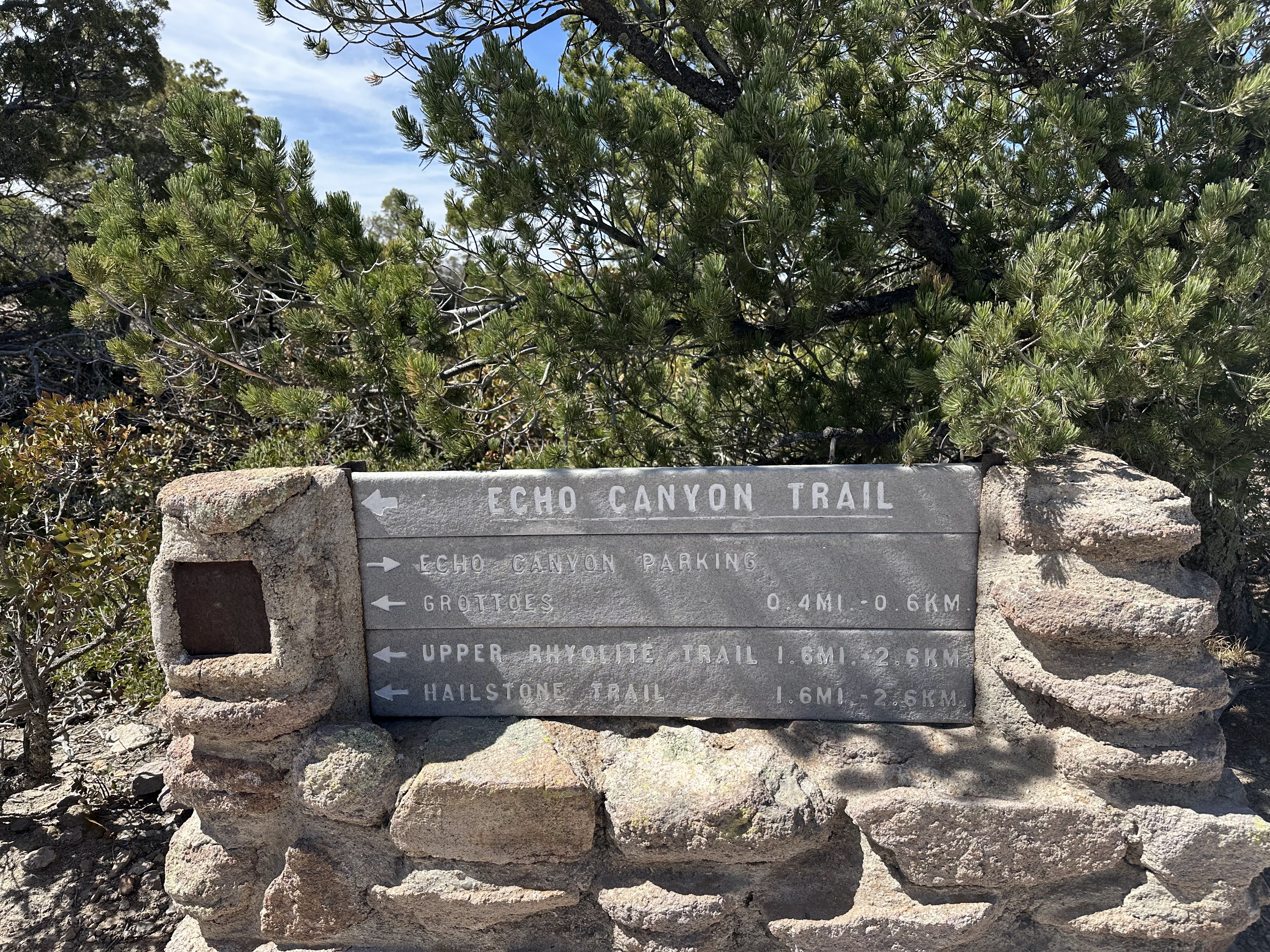
- Echo Canyon Trailhead
- Gai GPS
- Take trail from the parking lot and turn right onto the Echo Canyon Trail at the first intersection. Hike a ways and then turn around and return the same way.
On our drive back from Tucson to El Paso, we stopped at Chiricahua National Monument, where Dian had spent the night camping. We met up with her and stopped by the visitor center. It was very small, but offered a short film which ended up sounding like a guided meditation :)
We drove to the Sugarloaf Trailhead and hiked the Sugarloaf Trail up to Sugarloaf Mountain at 7,310'. The summit looks out over a caldera. El Paso was forecasted to be 96 degrees today, but this park only had a high of 83 degrees. We had a nice view from the summit. This hike was mostly looking down at interesting rock formations.
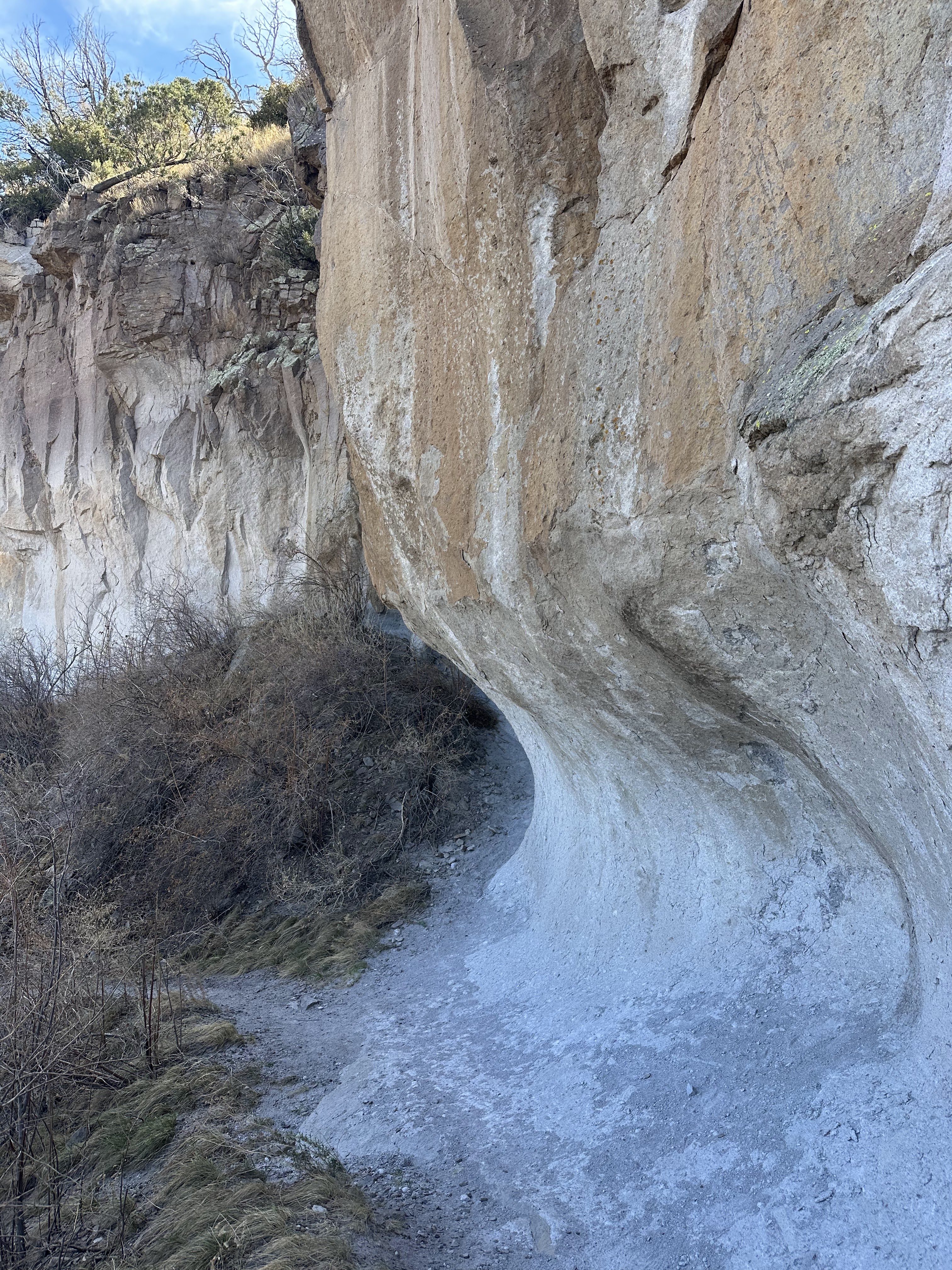
Then we drove to the Echo Canyon trailhead and hiked part of a loop trail. This hike was more walking next to the rock formations. went for a hike. I loved this park and wish we had more time to spend there. This park has coatis, but we didn't see any. We did see wild turkeys and roadrunners. After our hike, we had a long drive back to El Paso. We are staying at a hotel there for the night, before continuing on to Big Bend National Park.


 |
| This park has amazing rock formations! |


No comments:
Post a Comment