| Date |
Distance |
Time |
Elevation Gain |
Average Moving Time |
Year to Date Miles |
| 11/06/2024 |
8 miles |
7 hours 5 minutes |
2,801' |
1.4 |
708.1 miles |
| Date |
Distance |
Time |
Elevation Gain |
Average Moving Time |
Year to Date Miles |
| 11/06/2024 |
2.5 miles |
1 hour 31 minutes |
377' |
1.7 |
710.6 miles |
Parking:
- Guadalupe Peak: Pine Springs Visitor Center
- Smith Spring Trail: Frijole Ranch Road
Map:- Gaia GPS app
- Park brochure
Directions:- Guadalupe Peak: From the trailhead, follow the signs for Guadalupe Peak. Return down the same way.
- Smith Spring Trail: From the Frijole Ranch Trailhead, walk in a clockwise loop.
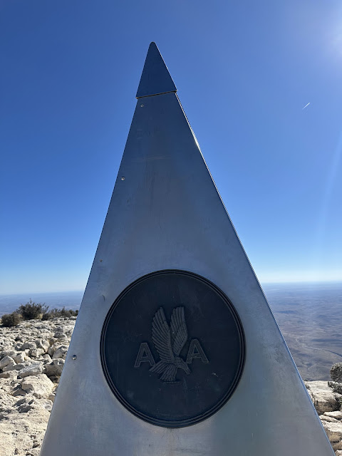
I like to visit state high points, so I added a hike up Guadalupe Peak to our itinerary. Guadalupe Peak is the state high point of Texas and is located in Guadalupe Mountains National Park. We had to time the hike for a good weather day and today looked like the best day of the upcoming days. The weather forecast still was not great - cold and very windy.
We woke up at 4:30 am (unheard of for me) to get out the door at 5am to drive to the trailhead. Dian and I headed up the trail at 6am, just as the sun was starting to rise. I'm not a morning person, but that sunrise was incredible.
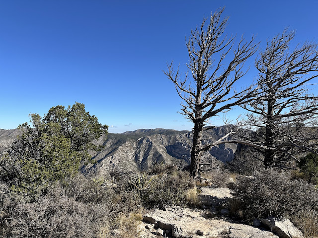
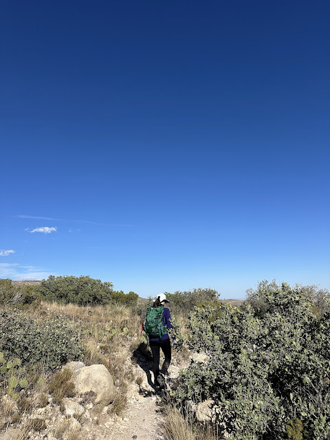
The hike up was challenging. 3,000' elevation gain in 4.2 miles. The trail was rocky, which unfortunately is irritating to the tendon in my foot. We had strong winds (forecast was up to 35 mph) on the way up, but I never felt in danger of being blown off the mountain. In most places, the trail was fairly wide. "Wind" season starts in November, so this hike would be better in September or October. On our hike, we met one person coming down who must have hiked up in the dark for the sunrise. We ended up being the 3rd & 4th people on the peak, and we had it to ourselves for a while. A number of people started arriving after us. On our hike down, we saw many exhausted hikers heading up. We gave them encouragement. The summit is at 8,751', so I'm sure the altitude impacted a lot of hikers. It ended up taking us 7 hours, which is within the 6-8 hours the NPS says the hike takes people. My foot started hurting when we were close to the summit, so I knew there was a chance I might not be able to hike the next day. It was worth it to get that high point done though!
After our hike, we met up with Tara and did the Spring Trail from a nearby trailhead. This was a much flatter hike.
 |
| Driving to the trailhead - so early! |
 |
Sunrise as we hit the trail.
We saw some people camping in RV's at the trailhead. |
 |
| Happy sight - summit! |
 |
| Back at the visitor center |
 |
| Off for another hike, this time much easier. |
 |
| Alligator juniper - notice the distinctive bark |


No comments:
Post a Comment