| Date |
Distance |
Time |
Elevation Gain |
Average Moving Time |
Year to Date Miles |
| 10/24/2024 |
2.9 miles |
1 hour 15 minutes |
370' |
2.3 mph |
687.7 miles |
Parking:
- Foster Creek Road, pull off on gravel road. Room for 2-3 cars.
Map:- Pisgah Map Co., Pisgah Ranger District
Directions:- Take trail from parking area.
Carolina Mountain Club Challenge:
- Pisgah 400, Foster Creek Trail #610
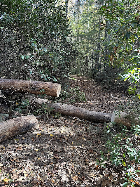
Still have a bit of a cold but wanted to go out for a hike. We saw that the Foster Creek Trail had been cleared post-Helene, and we've never hiked it before. It's a very short loop, around 1.6 miles. The trail is muddy in spots. We saw evidence of the trail maintainer already having been out and taking care of blow downs. There was only one tree down across the trail, and it was an easy stepover.
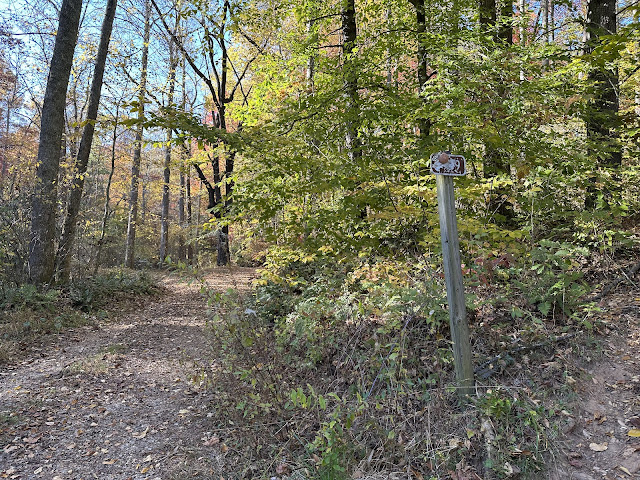
This trail is not on Gaia. From where we started its a counterclockwise loop. There were a couple of intersecting trails that went off the main trail. The trails aren't marked, but we just stayed straight on the main trail. We eventually hit the end of Foster Creek Trail which is at the end of Foster Creek Road. There's another forest service road with a gate across it and a sign saying, "Road Closed." We decided to hike up that road to make our hike a little longer. We hiked to nearly the end. At the end of the road, we saw a house. We wondered what it was, because you can't drive the 0.8 miles up the road. We turned around and headed back, eventually joining Foster Creek Road. We followed Foster Creek Road a short distance to our car. We started hearing gunshots. A reminder - it's time to start wearing blaze orange.
 |
| Signs of recent trail work. |
 |
| End of Foster Creek Trail. |
 |
| Forest Service Road we decided to hike up. |
 |
| Someone had cleared trees from the Forest Service Road too. |
 |
| This was the entrance to the Forest Service Road we hiked up. |
 |
| Foster Creek Road parking area. |


No comments:
Post a Comment