| Date |
Distance |
Time |
Elevation Gain |
Average Moving Time |
Year to Date Miles |
| 5/23/2024 |
2.0 miles |
52 minutes |
52' |
2.8 |
357.9 miles |
Parking: Map:
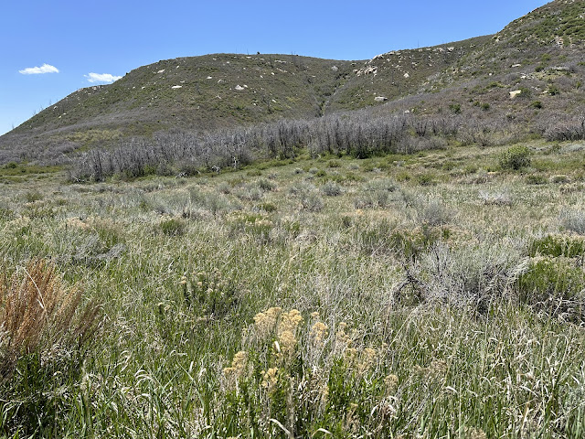
Before heading on from Mesa Verde, we hiked the Knife Edge Trail. This was an easy out and back trail with nice views. It doesn't walk along a knife's edge as you would expect. We saw 2 other people on the trail. I know everyone goes to Mesa Verde for the cliff dwellings, but the hikes here are worth going on too!
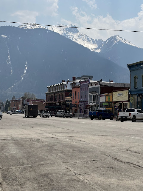
On to our next stop. We drove through Ouray and Ridgway Colorado. I used to follow a blog of a woman who lived in these towns and fell in love with the views from her blog. I felt like I wanted to move there! After driving through them, I decided no way. Stunning scenery, but you have to drive over a mountain pass to get anywhere else. The "Million Dollar Highway" is listed as one of the deadliest roads in America, due to the high elevation, hairpin turns, and lack of guardrails. Luckily, we had good weather for the drive. The scenery is breathtaking. We did stop once or twice so that I (as the driver) could fully admire the views. We passed by the Colorado Trail and talked to a couple of section hikers. I can't decide if I want to backpack the Colorado Trail. The scenery is amazing, but the altitude and thunderstorms give me pause. We stopped in Silverton, Colorado - so small and so cute - to caffeinate.
 |
| Great signage at the trailhead |
 |
| Wildfire outside the park |
 |
| Flax? |
 |
| Continuing on with our drive.... |
 |
| Those colors! |


No comments:
Post a Comment