| Date |
Distance |
Time |
Elevation Gain |
Average Moving Time |
Year to Date Miles |
| 4/5/2024 |
12.1 miles |
6 hours 26 minutes |
590' |
2.1 mph |
220.1 miles |
Parking:
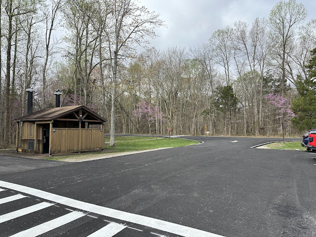
- Mammoth Caves, Maple Springs Trailhead
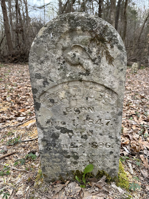
Map:Directions:- Cross street from parking area and take Sal Hollow Trail clockwise. Pass by Turnhole Trail and Sal Hollow Campsite. Turn left on Miles Davis Cemetery Trail. Hike to cemetery and then return back to Sal Hollow Trail and turn left to continue clockwise. Turn right onto Buffalo Creek Trail and return to trailhead.
Our second day at Mammoth Cave National Park. We didn't sign up for a cave tour today, so we had the whole day free for hiking. We moved away from the visitor center trails and hiked a route on the backcountry trails map. A lot of this hike was pretty cruisy, but some sections were less well maintained. The highlight of today's hike was the wide variety of wildflowers. I took photos of some of them. We saw very few people today, a big difference compared to the trails near the visitor center.
We stopped by a cemetery from the 1800's that was somewhat accessible by a woods road. On our cave tour, they told us the reason that the park was free to visit was because part of the land was taken by eminent domain, resulting in the displacement of 500 families.
 |
| Trailhead |
 |
| Sinkhole? |
 |
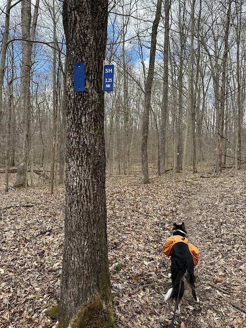
| Mile markers every 1/4 mile. |
 |
| I would have liked to have gone on the Turnhole Trail, but it was already a long day. |
 |
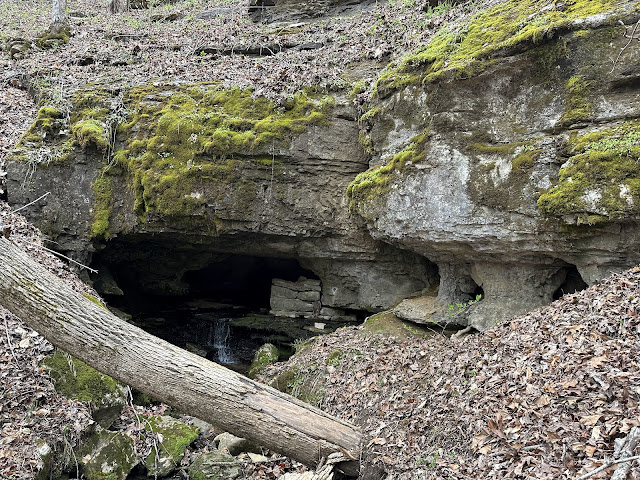
| Cave entrance? |
 |
| Galax? |
 |
| Jacob's Ladder |
 |
| Foamflower? |
 |
| Virginia Bluebells |
 |
| Virginia Bluebells |
 |
| Roundleaf Ragwort |
 |
| Trillium |
 |
| Phlox |
 |
| Wild Geranium |
 |
| Mayapple |
 |
| Blooming Mayapple |
 |
| Bloodroot |
 |
| We took a detour |
 |
| Daffodils, presumably from an old homestead |


No comments:
Post a Comment