| Date | Distance | Time | Elevation Gain | Average Moving Time | Year to Date Miles |
|---|---|---|---|---|---|
| 12/31/2023 | 1.7 mile | 1 hour 32 minutes | 91' | 1.9 mph | 234 |
- UNCA Kellogg Center, Hendersonville. Note there is a sign that the gate at this entrance is locked at 5pm. There is another parking area with no gate, if that is a concern.
- Map which shows sculpture locations, but fewer trails: 3/21Rudnick trail brochure.indd (wordpress.com)
- Map which shows more trails but not the sculpture locations: Perry Rudnick Nature Trail Map | Western Carolina Botanical Club (wcbotanicalclub.org)
- N/A
I did some research on this park and discovered that the trails were built by the Carolina Mountain Club. It looks like the trail was completed in 2002. I found a photo of the trail builders - all men. I believe my friend Carroll might be one of them - the only person in the photo I think I recognized. Photo here: The Perry N. Rudnick Art & Nature Trail | Blue Ridge (blueridgeheritagetrail.com)
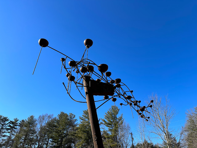
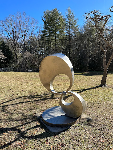
I heard that currently the trail system is confusing and there is a lack of map, but I did find 2 maps online. There are 14 sculptures in this small park. Very cool! I have fond memories of hiking at Storm King in NY, so I'm so happy to find a smaller version sculpture trail here (there is also one in Lenoir).
So, I was skeptical about the confusing trails. It's a short walk, how confusing could it be? Well, we tried to use the map which showed the sculpture locations. But there are many more trails than what that map showed. We knew we couldn't get too lost though. We sort of knew where we were....when we'd find a sculpture, we could at least figure out where we were on one of the maps. So, I think the ultimate map would be a combination of the 2 maps combined. Maybe put the sculpture locations on the map that shows more trails. I feel so OCD about it - if I lived closer, I'd hike there and create my own map for people to use, lol. Anyways, we had our Gaia app - though the trails aren't on it. In the end we had a pretty good feeling of where we had been. If you do go there, I suggest combining the maps ahead of time!
Lots of dog walkers use this park. The trails seemed well maintained and we enjoyed our hike there.
 |
| I believe the property is owned by UNCA but is used by a children's school. There were a bunch of balls. Someone got very excited. |
 |
| There are trail signs on some of the trails - the map which marks the sculptures doesn't have these though. |
 |
| Occasionally we'd see a blaze. |
 |
| This might be my favorite one. It reminds me of fiddleheads. |
 |
| We liked this one as well. Water was dripping out of the funnels. |
 |
| This one had something to do with pregnancy |
 |
| This key was a little hard to read on our printed map - this is a blown up version. Useful! |
 |
| Stopped and did a quick sketch before leaving. |


No comments:
Post a Comment