| Date | Distance | Time | Elevation Gain | Average Moving Time | Year to Date Miles |
|---|---|---|---|---|---|
| 7/11/2023 | 2.5 miles | 1 hour 51 minutes | 583' | 1.5 mph | 173.9 |
- Fryingpan Mountain Trailhead, Blue Ridge Parkway
Map:
- Gai GPS app
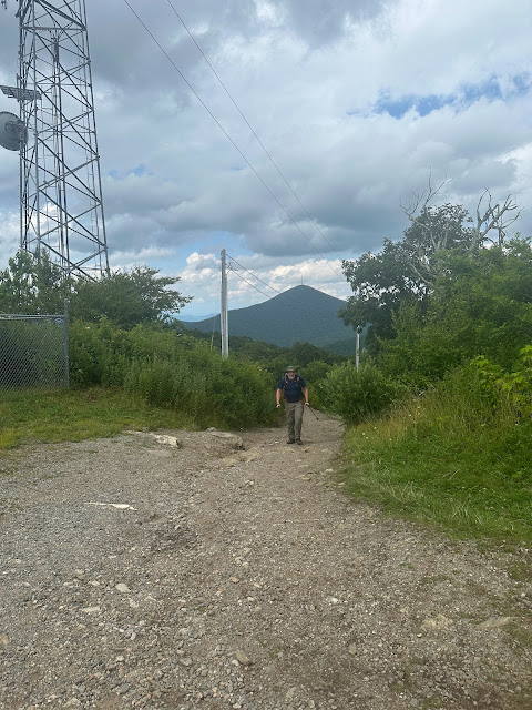
- From the parking area, take trail (to the right of the gravel road) to the summit of Big Bald. There is no view. Return back to the parking area. Then take the gravel road to Fryingpan Mountain Lookout Tower. Return back to the parking area.
Carolina Mountain Club Challenge:
- Lookout Tower Challenge
I took a vacation day today to have some fun. Glen and I have sore leg muscles from a session with a personal trainer this week. Ow. I went on a 12.5-mile bike ride with Marie this morning. The first time I've been biking since 2019. My bike is all tuned up and ready to roll. We went riding in Carrier Park. It's very flat, which is just what I needed. My leg muscles loosened up a bit but are still sore. I figure biking is something I can start doing while I wait for my foot to heal.
In the afternoon, we took Krumm out for a hike. Even though my foot isn't healed yet, I want to see what I can do. 2.5 miles at a slow pace is a start. It's sore, but at least I was able to put weight on it for the whole hike. The hike was tiring due to our sore quads.
We started out our hike, not checking Gaia first. We headed the wrong way. We realized our mistake early on but decided to continue to hike up to Big Bald. Gaia didn't show a trail up it, oddly. It is a red blazed trail. I need to look at a paper map. We only saw 2 other people on our hike up to Big Bald. Everyone else was headed to Fryingpan Mountain Tower. Lots of Turks Cap lilies and other flowers on the trail. The trail is a bit overgrown, so I was glad I was wearing long pants. Then up Fryingpan. This was a heavily traveled gravel road. The fire tower had great views. Luckily not as hazy as its been recently.


No comments:
Post a Comment