
| Date | Distance | Time | Elevation Gain | Average Moving Time | Year to Date Miles |
|---|---|---|---|---|---|
| 4/6/2023 | 1.6 | 47 minutes | 136' | 2.2 | 157.3 |
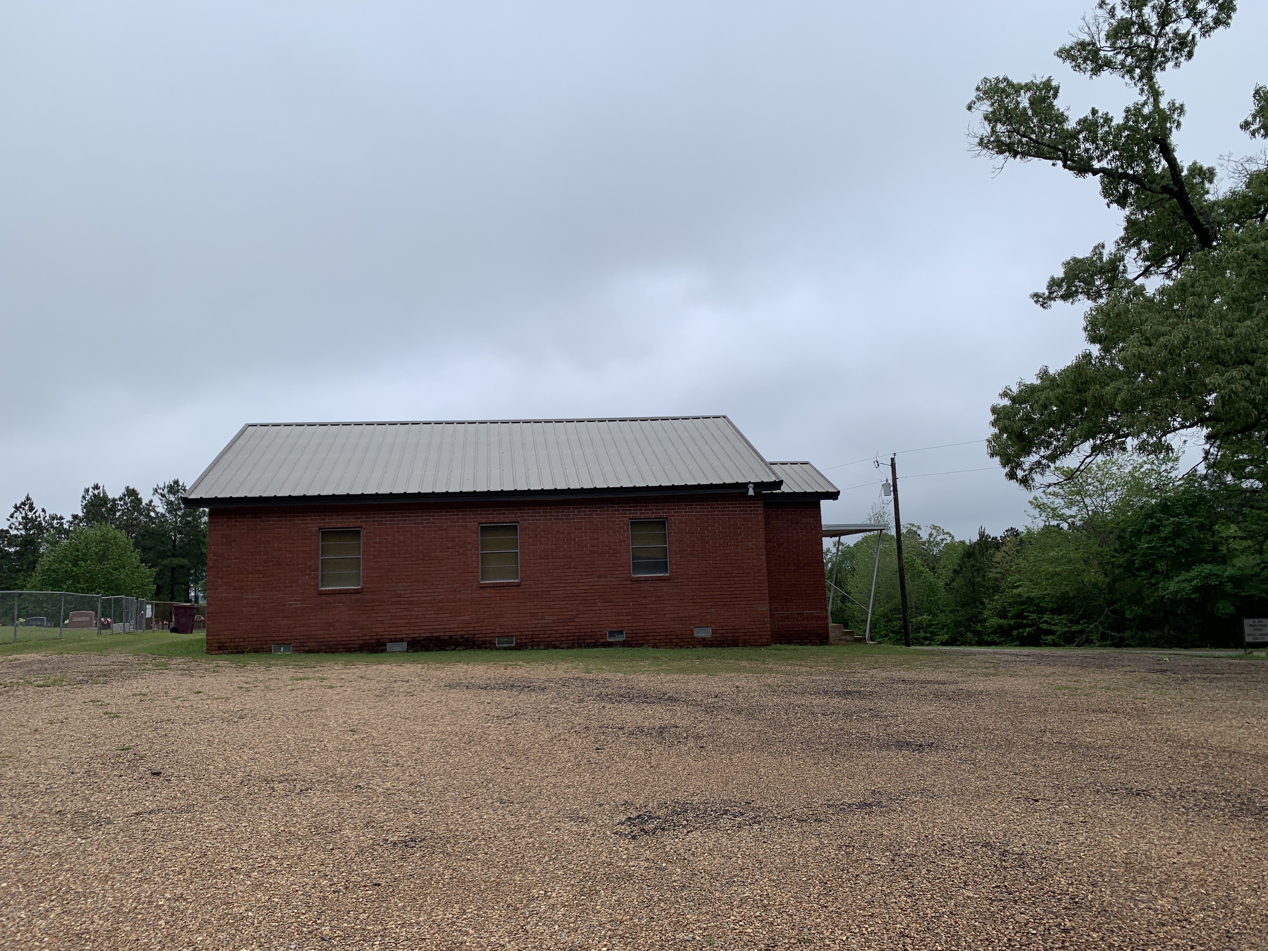
- Mount Zion Presbyterian Church
Map:
- Gai GPS
- Follow dirt road to the left of the church. We took a blue blazed side trail to the summit. We then returned back on the dirt road.
In the morning, we called a tire shop. Someone from the shop drove out with an air pump and pumped up our completely flat tire. Glen followed them via back roads to the tire shop, where they were able to repair the tire. Phew. So, we had a much later start than expected.
Today we drove to a rural part of Louisiana to a small church where we parked for our hike. The hike is on private property, where the owners generously provide access to the high point. It was raining all morning, but we got a break in the rain when we reached our trailhead. The trees are starting to get greener. Yeah! I know a lot of people like winter views, but I love seeing green! We saw a bunch or red buckeyes and white flowered fringe trees.
The church had a cemetery next to it. I happened to notice a "stump" gravestone. Then a second one. What??? I've never seen one before. But I googled, and apparently, it's a thing: Why Some Gravestones Are Shaped Like Tree Stumps - Atlas Obscura. How cool is that? They are typically from the late 1800's until 1920's.
We drove to Little Rock. A very long day. Oh, there was a tornado in Little Rock less than a week ago, that killed a few dozen people. Yikes. Exhausted.


 |
| Looking at the high point register. |


 |
| A stump gravestone! |

 |
| Stopping by a vegetarian cafe |
 |
| Hard to capture on the road, but a beautiful sunset over the very flat horizon. |
No comments:
Post a Comment