| Date |
Distance |
Time |
Elevation Gain |
Average Moving Time |
Year to Date Miles |
| 1/11/2022 |
9 miles miles |
6 hours 13 minutes |
2,027' |
2.0 |
48.5 |
Parking:
- Route 178, parking on side road
Directions:
- Cross street from parking area and hike on the Foothills Trail to Sassafras Mountain. Return the same way.
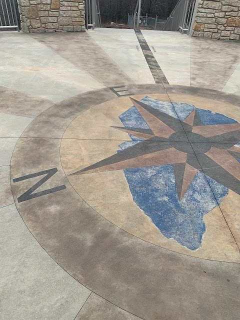
We joined the Carolina Mountain Club for a hike on the Foothills Trail. This was a portion of the backpacking trip I had done in May. Glen and I had been to Sassafras Mountain in 2017, because it's a state high point. Back then there was no lookout platform on the summit.
 |
| Sunrise view from our yard this morning. |


No comments:
Post a Comment