| Date | Distance | Time | Elevation Gain | Average Moving Time | Year to Date Miles |
|---|---|---|---|---|---|
| 7/27/2022 | 4.6 miles | 3 hours 3 minutes minutes | 548' | 1.8 mph | 565.8 |
- Graveyard Fields, Milepost 418, Blue Ridge Parkway
- Pisgah Map Co., Pisgah Ranger District (for navigation)
- 100 Favorite Trails of the Smokies and the Carolina Blue Ridge (for directions)
- Gaia GPS app
- We did a modified version of the hike listed in the 100 Favorite Trails map, adding in some extra trails:
- Blue Blazed MST access trail #358B.
- Take spur trail #358C to Second Falls.
- Return and continue on access trail #358B
- Left on white blazed MST.
- Left On Graveyard Ridge trail #356
- Right on MST
- Right on Graveyard Ridge trail #356 (repeating a section)
- Left on #356A Graveyard Ridge Connector
- Left on 358 Graveyard Fields Loop
- Right on 358B MST access trail
Carolina Mountain Club Challenges:
- 100 Favorite Trails #52, Graveyard Fields Loop
- Pisgah 400, #358B MST Access
- Pisgah 400, #356 Graveyard Ridge (from MST to MST intersection)
- Pisgah 400, #356A Graveyard Ridge Connector
Section 2, mile 49.4 (Graveyard Ridge Trail to mile mile 49.9 (MST Access trail)
Another warm day with a high chance of rain and thunderstorms. We woke up very early so we could do a hike while the weather was still good. We got out the door at 7:30 to drive to Graveyard Fields. I've heard a lot of people like this hike, and that it can be crowded.
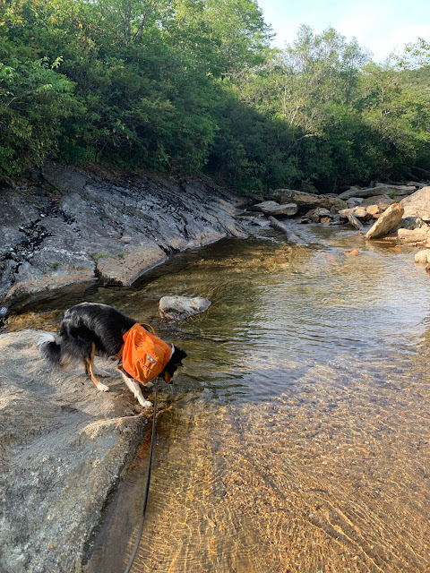
The views along the parkway were fabulous in the morning. When we arrived, there were a few cars in the parking lot already on a weekday. It was 68 degrees. Nice! The trail starts by heading downstairs close to the restrooms. We passed over a river. Krumm got very excited! This hike has few turns, and we found it useful to not just have a printed map, but to have Gaia as well. Surprisingly, we saw very few people on the trail. The trail itself is dreadfully overgrown. It makes me feel less bad that we haven't finished weed whacking our trail. On this trail, we frequently had to push through overgrown blackberry canes. On the bright side, there were lots of blackberries and some blueberries ready for picking. Given all the fruit, and the overgrown trail with lots of turns, I made sure to make noise when going around corners in case there were any bears on the trail. Glen sang.
On the way back, instead of redoing a section we had hiked on the way out, we took a turn to make an additional loop on the way back. We considered adding in an out and back to a waterfall on another trail, but the clouds were building up, looking like rain. At the very end, we passed over the river again. This time, we stopped and took a long break, letting Krummholz wade in the river. There were a lot of people at the river. I guess people come here not to hike, but just to go to the river. The parking lot was full when we left, so even on a weekday, it's good to arrive early.
 |
| St. John's Wort |
 |
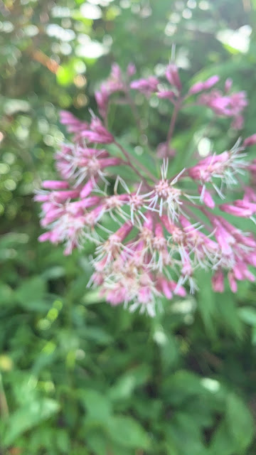
| Joe Pieweed |
 |
| Scaldweed, a parasitic plant |


No comments:
Post a Comment